
This object is in archive!
World offline map with altitudes
Answered
Hi Menion,
on my smartphone with Android 6.01 I get this wonderful offline world map with altitudes in colours. On my tablet with Android 4.42 with the same offline map I only get outlines. What is the reason for this? Can I do anything about this?
Looking forward to your answer,
Wilfried
Files:
Screenshot_2016...
 The same question
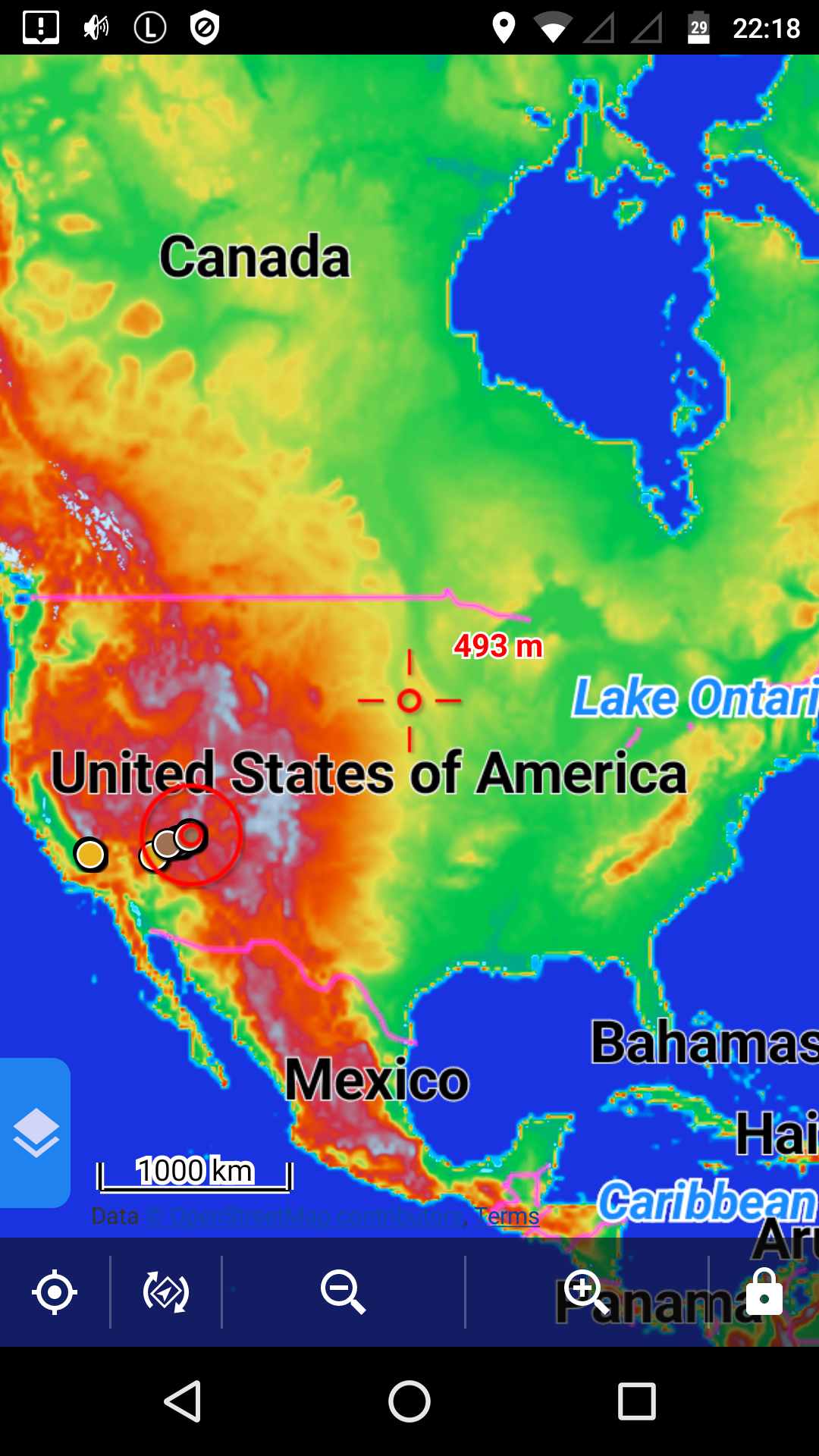
Good day Wilfried,
to be true, I have no idea :). What is the source of this map? It is not visible on the screenshot, but such map is not generated from LoMaps and it also isn't shaded vector map we offer in Locus Store for low zoom levels.
Good day Wilfried,
to be true, I have no idea :). What is the source of this map? It is not visible on the screenshot, but such map is not generated from LoMaps and it also isn't shaded vector map we offer in Locus Store for low zoom levels.
Hi, Menion,
thanks for your quick answer. As you can see in the attached first screenshot, I'm using LoMap Utah/USA. Zooming down to level 7 it shows the normal map, beginning with zoom level 6 it shows the altitude map for the whole world. As you can also see, I have the LoMap of World Outline installed.
Cheers from USA,
Wilfried
On Sep 28, 2016 2:30 AM, "Locus Map" wrote:
Hi Wilfried, this is from Locus map indeed. Level 8 is also from Vector world map.
If you have 200 MB additional space left on your SD you might consider this one, which you can activate as an overlay. It is a pixel map, which is more appropriate for low zoom levels:
http://www.openandromaps.org/en/downloads/general-maps
(You "pay" more in space, which is not a limitation in 2016 anymore, yet you get more in quality and speed.)
And they will for sure display on any Android and device.
Hi, Michael,
thanks for your quick answer and the link, which I will try when I'll be back home i. Germany. One further question: do you have an idea, why I don't get this altitude world map on my tablet with android 4.4?
Now something else: the LoMap for Utah shows trail names only from zoom 19 upwards, not with zoom 18 or less (see the screenshots). But zoom 19 is too big for an overview. If I decrease the map resolution manually by pinching to 80%, it's a bit better (see screenshot), but if I decrease it to 75% it goes down to zoom 18 and the trail name vanishes again. So one solution to this could be in Settings/Maps/Maps General/Advanced Features/Increase map resolution: to have the possibility of 75% and even 50% (you would have to call it “Cange map resolution“). Would that be possible? It would be a great help!
Looking forward to your answer,
Wilfried
On Sep 28, 2016 11:10 AM, "Locus Map" wrote:
Replies have been locked on this page!