
Visible navigation help "Corridor" possible?
Hello,
is it possible to create a configurable straight corridor between two navigation points or alongside a track/route?
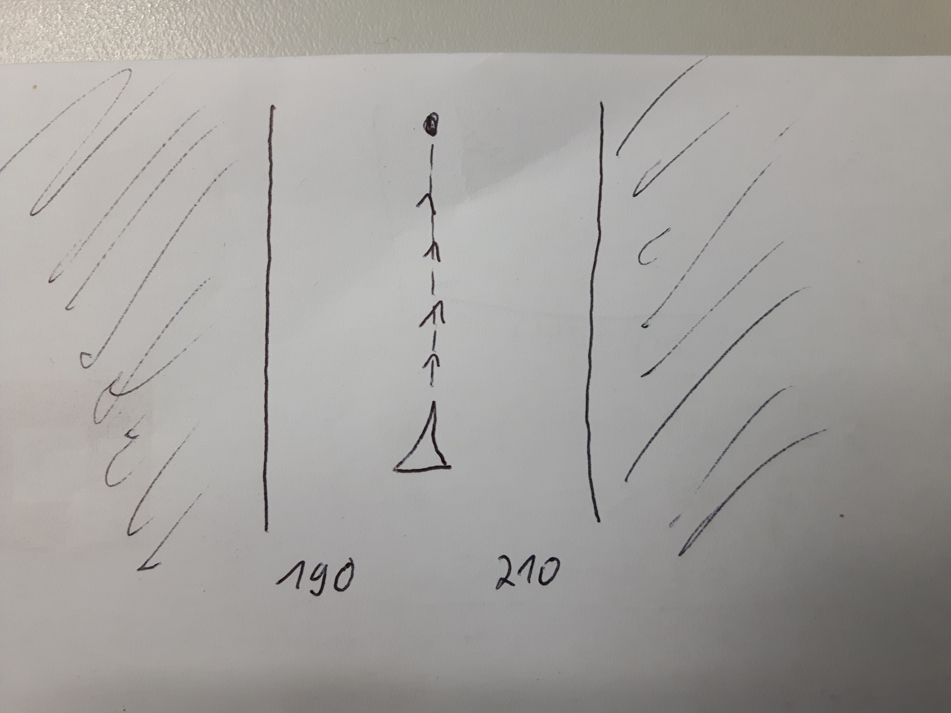
Rallyedrivers need to navigate from pont A to point B. Rules force them not to leave the track or straight line for 200 meters to the left or right, for example. If it would be possible to configure a visible corridor alongside a track/route or along a straight line between two points that would be very helpful. Within that corridor the driver can choose the best route in the landscape to follow while not braking0 the rules. That would be a great visible help. In addition the distance to the corridor borders for each site (left&right) should be shown in meters somewhere below the navigation cursor. The corridor must be fixed relative to the track/route or line. The navigation cursor can move in the corridor or leave it (alarm possible?)?
The rallye officials often read the tracks from the cars and check if they left the track more than it is allowed.
Cheers
AWo
 I like this idea
What you can try actually. Pse have a look at the manual for more details.
A (to test) set up example . You have to find out your best optimal settings in real.
Setup a Visual Corridor:
Import track into a new created Folder: "Corridor".
Edit Folder Corridor: Style on map > Line > Line Style Set Draw line > Mode Simple Color > Basic Base Colour (set transparancy and colour) > Width units select meter > set width: 200 meter total corridor width, then Save !
Setup an nearly out of Corridor track alarm.
A "safe (150m) corridor zone along the track" without sounding alarm.
Settings > Guidance > Set Enable > alert distance: 75 meter
Repeat notification every 1 seconds. Use the Beep function OR Select a (loud) alarm Sound: Push Set !
Import the 'rallye' files into Folder "Corridor", ("Use Style of the folder".)
Guidance:
Select your (200m transparant) track (on map). Choose guidance. Go !
http://docs.locusmap.eu/doku.php?id=manual:user_guide:tracks:management
=guiding#guidance_settings]=guiding#guidance_settings]http://docs.locusmap.eu/doku.php?id=manual:user_guide:functions:guidance&s[]=guiding#guidance_settings
=guiding#guidance_along_a_route]=guiding#guidance_along_a_route]http://docs.locusmap.eu/doku.php?id=manual:user_guide:functions:guidance&s[]=guiding#guidance_along_a_route
Hello,
great idea. I tried to set the track style to be highly transparent and to use the "draw border" option.
However, I never get the result I expect. Some examples:
Cheers
AWo
Hello,
great idea. I tried to set the track style to be highly transparent and to use the "draw border" option.
However, I never get the result I expect. Some examples:
Cheers
AWo
I set it now to one big bar with an acceptable level of transparency. However, the options for drawing the track line seems not to work as they should ("border" and "close path and fill with color").
Cheers
AWo
I set it now to one big bar with an acceptable level of transparency. However, the options for drawing the track line seems not to work as they should ("border" and "close path and fill with color").
Cheers
AWo
Hello guys,
not sure what exactly is problem, but! keep in mind that Locus is not able to draw only a small border line. Line with border is draw firstly as line in border color with wider width and then line in inner color with thinner width. So in case you use transparency colors, these colors will me "merged".
Good day Andreas,
firstly I can't even imagine that there will be any option how to make this task done. But 0709 bring some nice ideas how to use already existing tools that Locus offer.
Anyway your request is really specific and it's usability when hike/bike is not high. So I hope you find some of mentioned options usable and excuse my decision to decline this idea.
Thank you Willy (0709) for a nice help, appreciate it!
Yes, what 0709 wrote did it. And I understand why you don't put effort into this. It was just a question. However, thanks a lot. gaoin the support in this forum helped me out.
Cheers
AWo
Yes, what 0709 wrote did it. And I understand why you don't put effort into this. It was just a question. However, thanks a lot. gaoin the support in this forum helped me out.
Cheers
AWo
Replies have been locked on this page!