
Allow Way types & Surface diagrams to be zoomed/ expanded
Gathering feedback
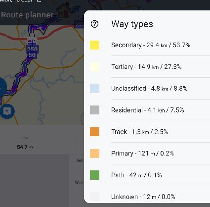
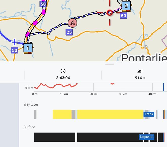
When the planned route in the Router Planner is long, say 50+km, it can become difficult to see small sections of surface that may be of interest, for example when trying to avoid unpaved sections on a cycle tour. Would it be possible to allow the Way types/ Surface diagrams (below) to be zoomed/ expanded so that a tap at the correct place accurately pans the map to the correct point? This would apply to both the Router Planner, and the saved track from a folder. At present from the latter it is not possible to tap the Way types/ Surface diagrams at all to pan to the point of interest.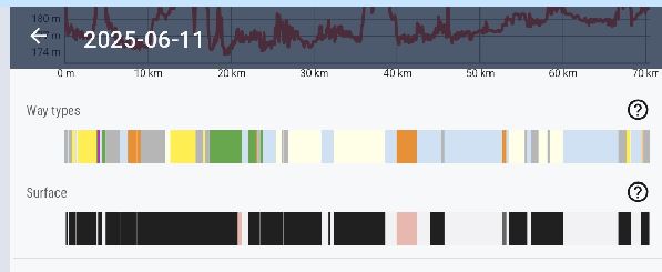
 I like this idea
Replies have been locked on this page!