
Quick way to show/hide points and tracks within map view's area / distance
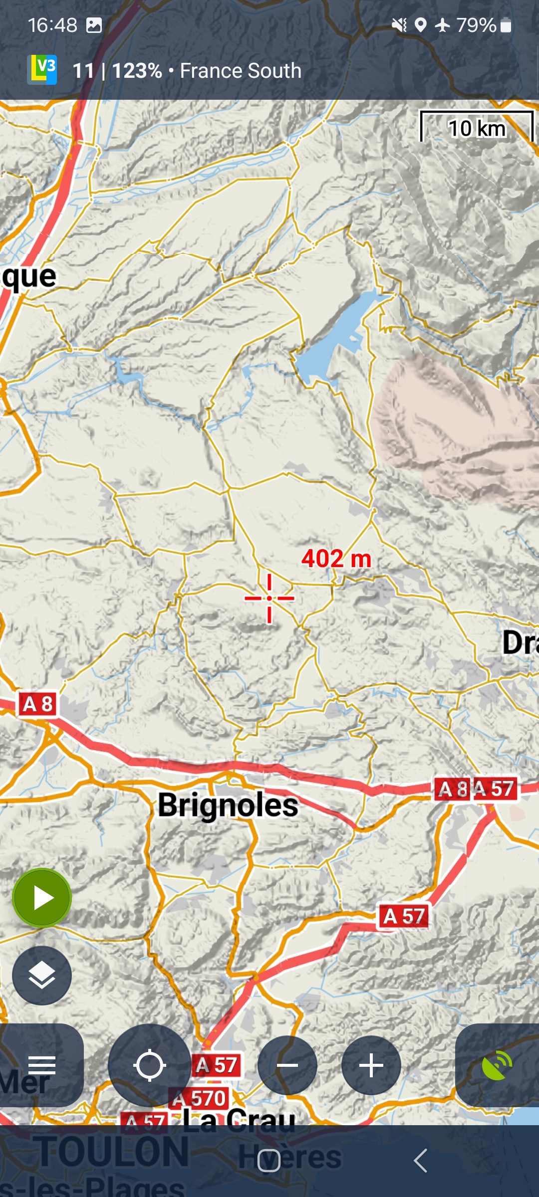
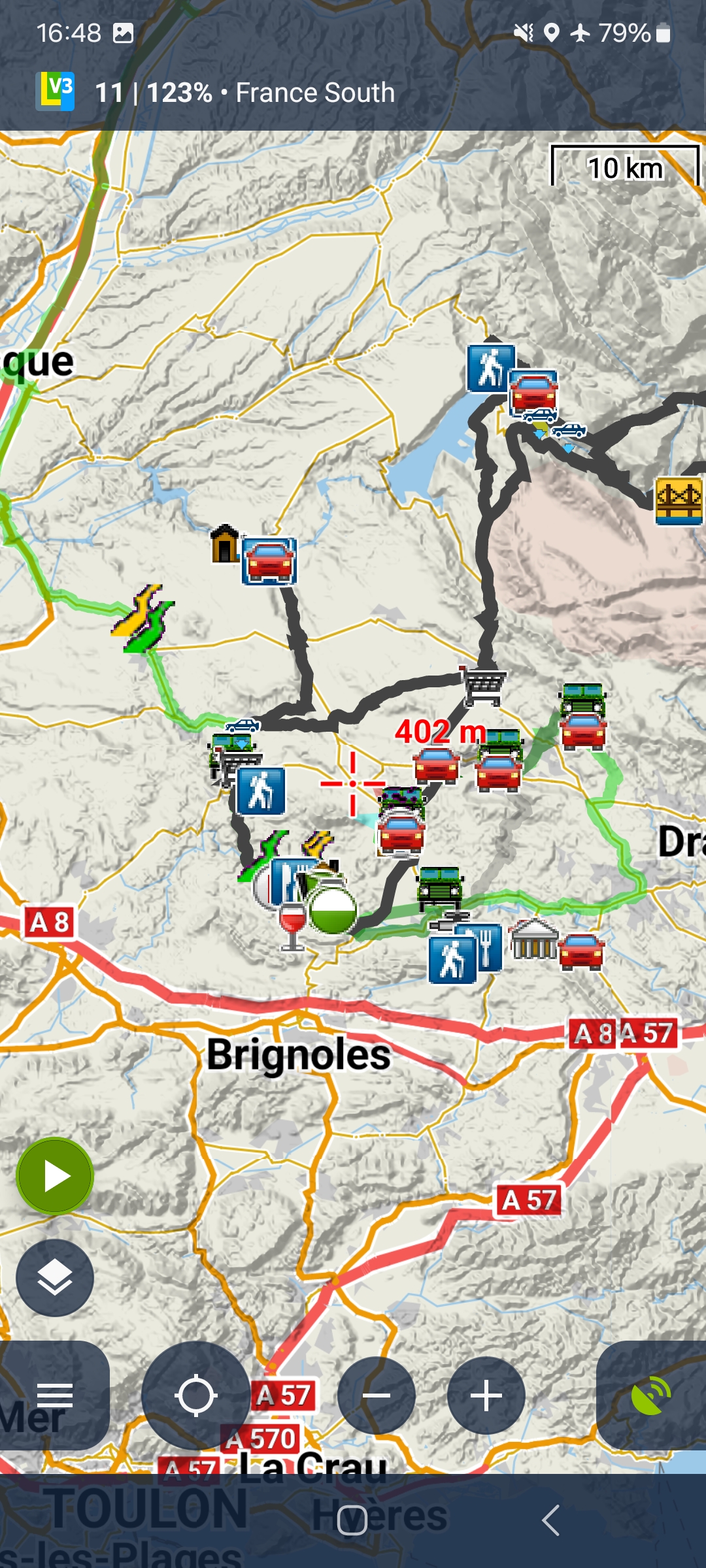
Use case is to move/zoom the map to an area of interest, say a holiday destination, and then easily show all library elements in that area to see past activities.
Also if there are already points and tracks visible, they should be set to invisible.
So I want to toggle the visibility (permanently show/hide) of a subset of my library's points and tracks based on the current view. Get from screenshot 1 to 2 and vice versa with the click of a button.
This is not "hide all" or "clear map view".
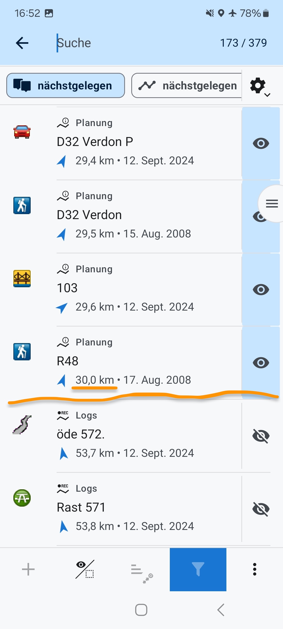
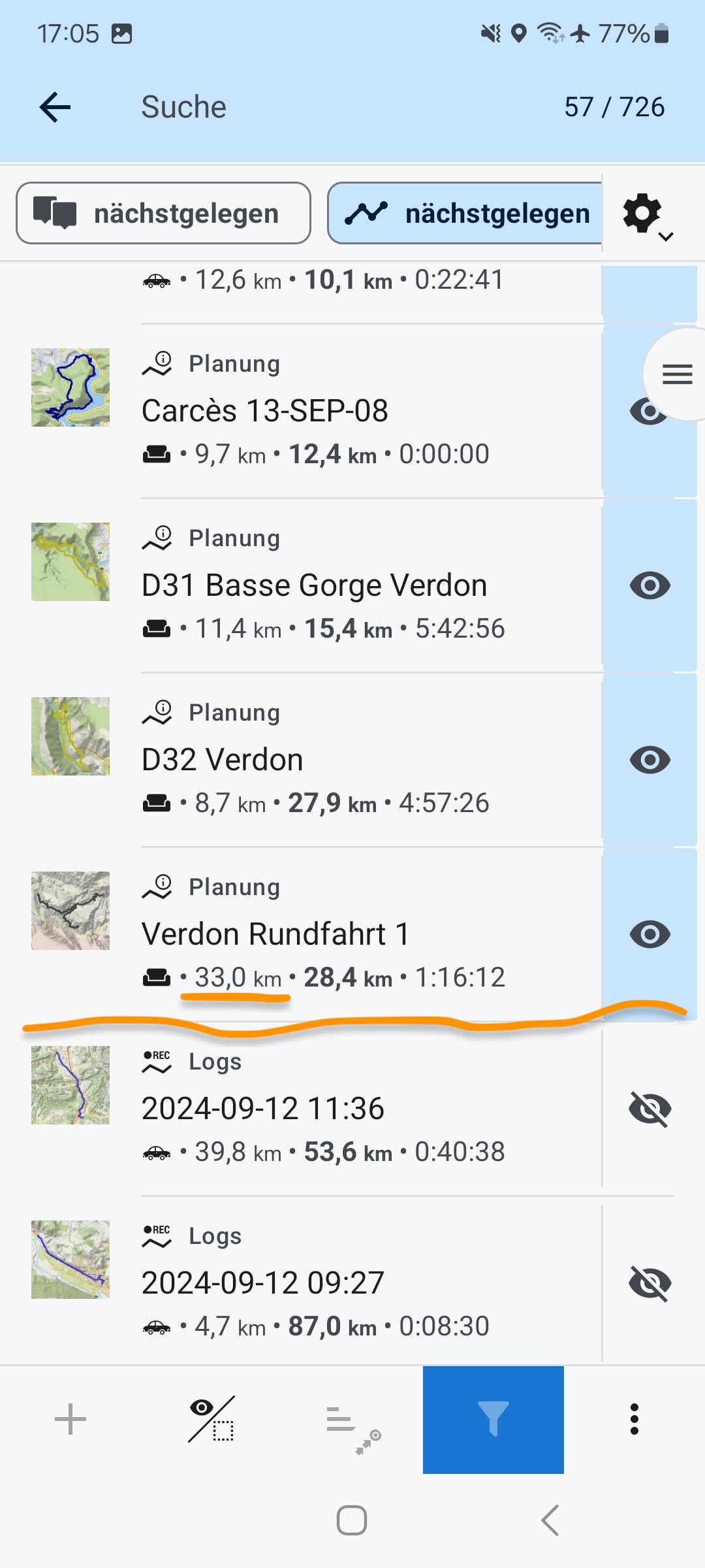
This may seem similar to "points nearby" or "search by distance" but these have some shortcomings: you have to manually change the visibility of each point or track - which may be many and you have to guess the maximum distance based on the map scale (see screenshots 4 and 5).
So that feature could determine the distance from map center to map edge, internally filter all library elements within that range and toggle their visibility flag. This would be a circular range and if easier to implement would be OK. Ideally, though the whole rectangular map view would be considered.
 I like this idea
Replies have been locked on this page!