
Sync elevation/slope chart with map viewport
Hi,
this applies to both Route planner and Track view.
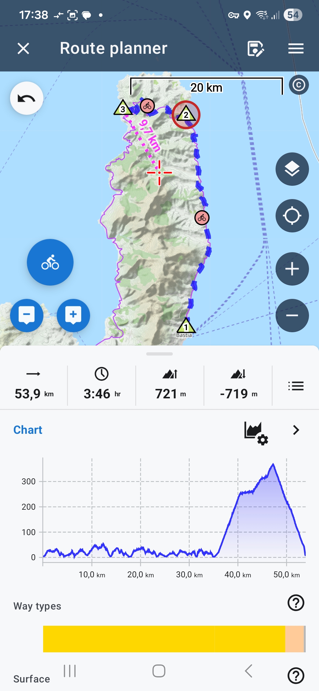
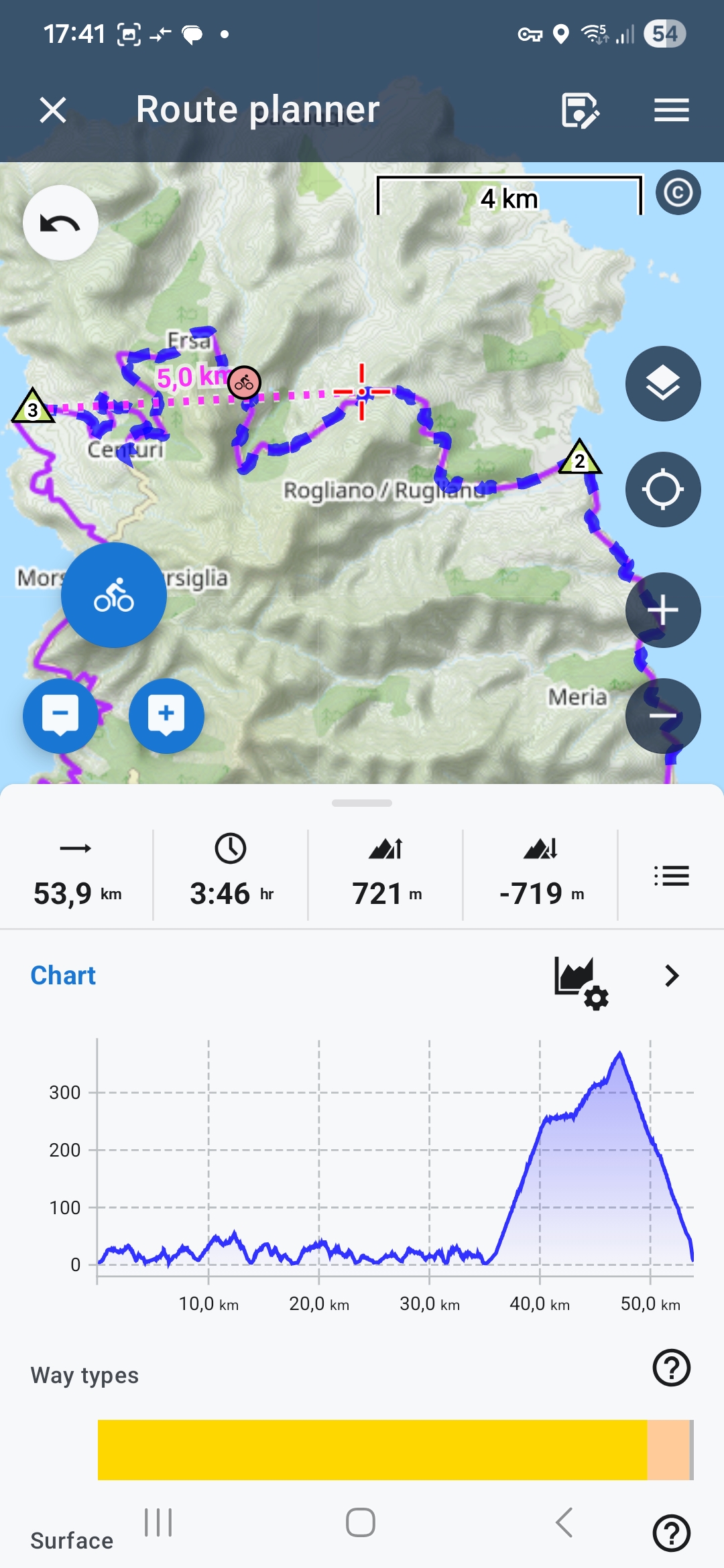
When I zoom or pan the map, the visible route/track section changes, but the elevation/slope chart still shows the full route/track. This is not ideal in my opinion.
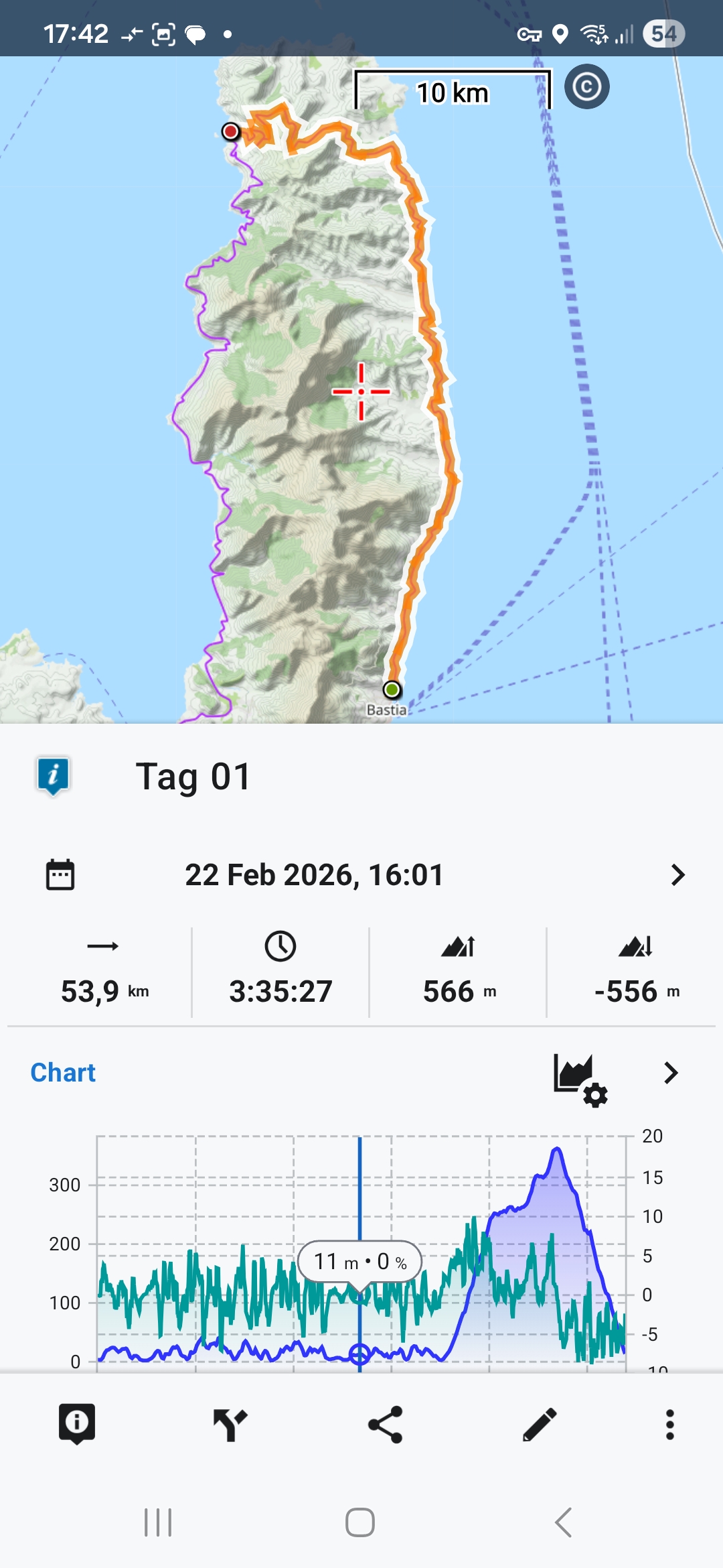
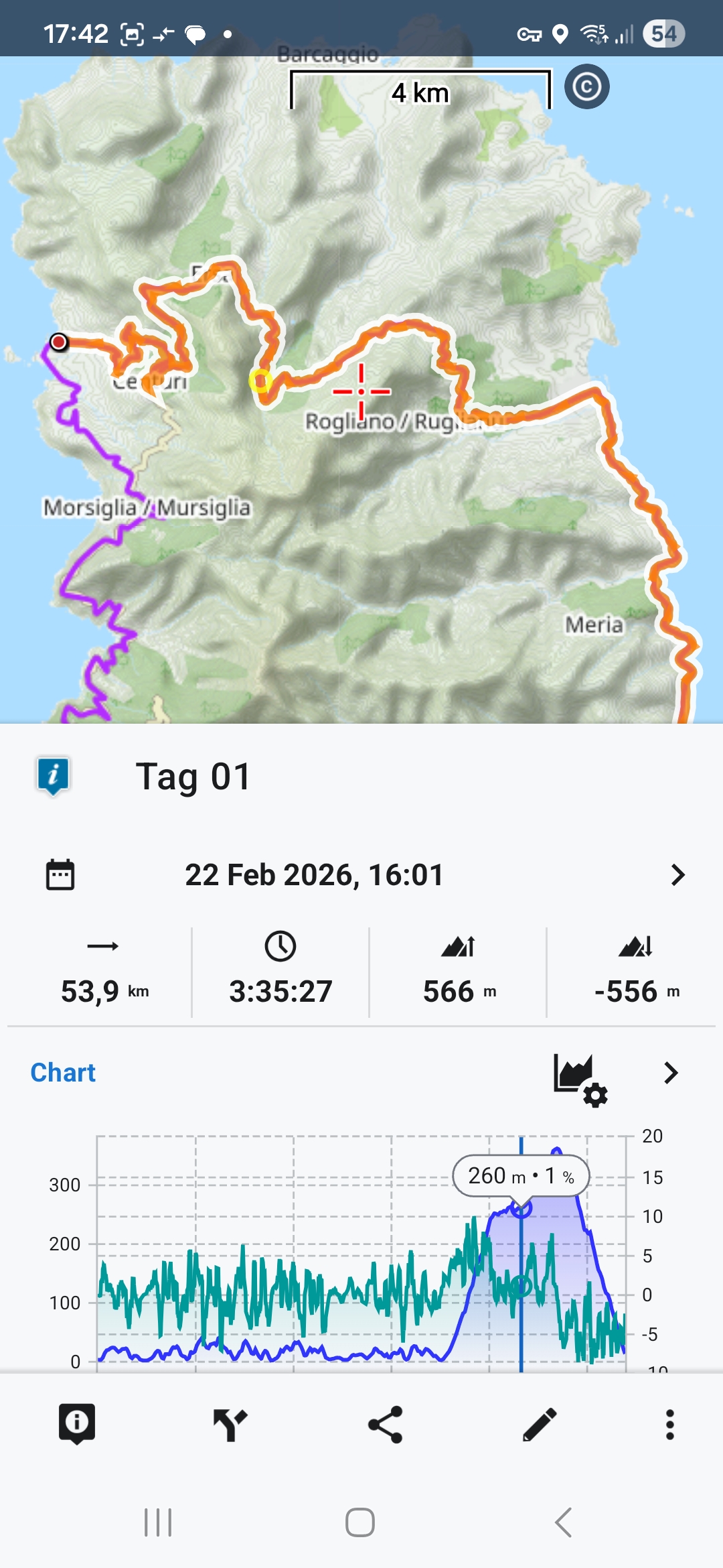
In Route planner, I can select a segment (and chart adjusts), but that only helps if my area of interest matches an already defined segment. In Track view, the Analyzer offers something similar, but requires manually setting start and end points.
It would be useful if the elevation/slope chart could dynamically show only the part currently visible in the map viewport.
Maybe a simpler first step would be a button/function to start the Analyzer with start/end points derived from the current map viewport.
Would something like this be possible?
 I like this idea
Replies have been locked on this page!