
This object is in archive!
Custom online map, how to flip y-coordinate?
Answered
I want to add a custom online map , but the y-coordinate is unusual。
As the attachment shows,the actual location is in China,but the location shown is in Antarctica;
my code is:
<provider id="6016" type="0" visible="true" background="-1">
<name>XXX</name>
<mode>TDT</mode>
<zoomPart>{z}-8</zoomPart>
<zoomMin>9</zoomMin>
<zoomMax>28</zoomMax>
<tileSize>256</tileSize>
<attribution><![CDATA[TDT]]></attribution>
<extraHeader><![CDATA[User-Agent#Mozilla/5.0 (Windows NT 6.1; WOW64; rv:7.0.1) Gecko/20100101 Firefox/7.0.1]]></extraHeader>
<extraHeader><![CDATA[Referer#</extraHeader>" rel="nofollow noopener" target="_blank">http://www.scgis.net:8282/map_his/]]></extraHeader>;
</provider>
Is there a way to fix this problem?
Files:
微信图片_2021110817...
 The same question
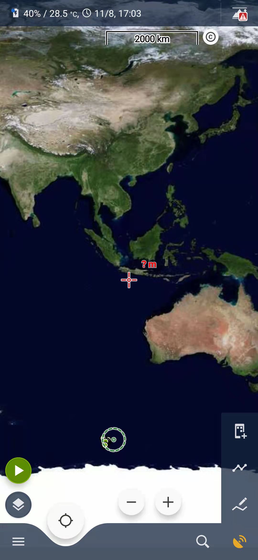
Hello,
it looks like you try to add WMTS based map as a common online map.
You do not write what app version are you using, but Locus Map 4 already supports WMTS map servers. Did you tried to use this map directly as a WMTS map in the Locus Map 4?
I've tried to test it if Locus Map 4 feature really works, but the server reports an invalid/outdated token to me, so you will have to try it on your own.
Let me know if there is something more I may help with.
With regards,
Jiří M. aka Menion
Replies have been locked on this page!