
This object is in archive!
Public lands coverage (e.g. BLM, National Forests etc) for the USA?
Answered
Hi all,
I am looking for a map overlay that displays the various public lands in the USA (see attached file with a screenshot from ArcGIS coverage). From Arc I can convert a public lands coverage to a kmz file, but Locus imports it as tracks, which then loads thousands of tracks and essentially makes the phone unusable. I can pick a smaller coverage but larger features are then blocked out. So, I guess I have two questions:
1) Is there a (paid or free) map that shows public lands that I can download directly to Locus? Or, if not,
2) Is it possible to convert a .kmz file to a file format Locus recognizes as map (and allows overlays over existing maps)?
Thanks y'all,
F
Files:
ArcGIS.Screensh...
 The same question
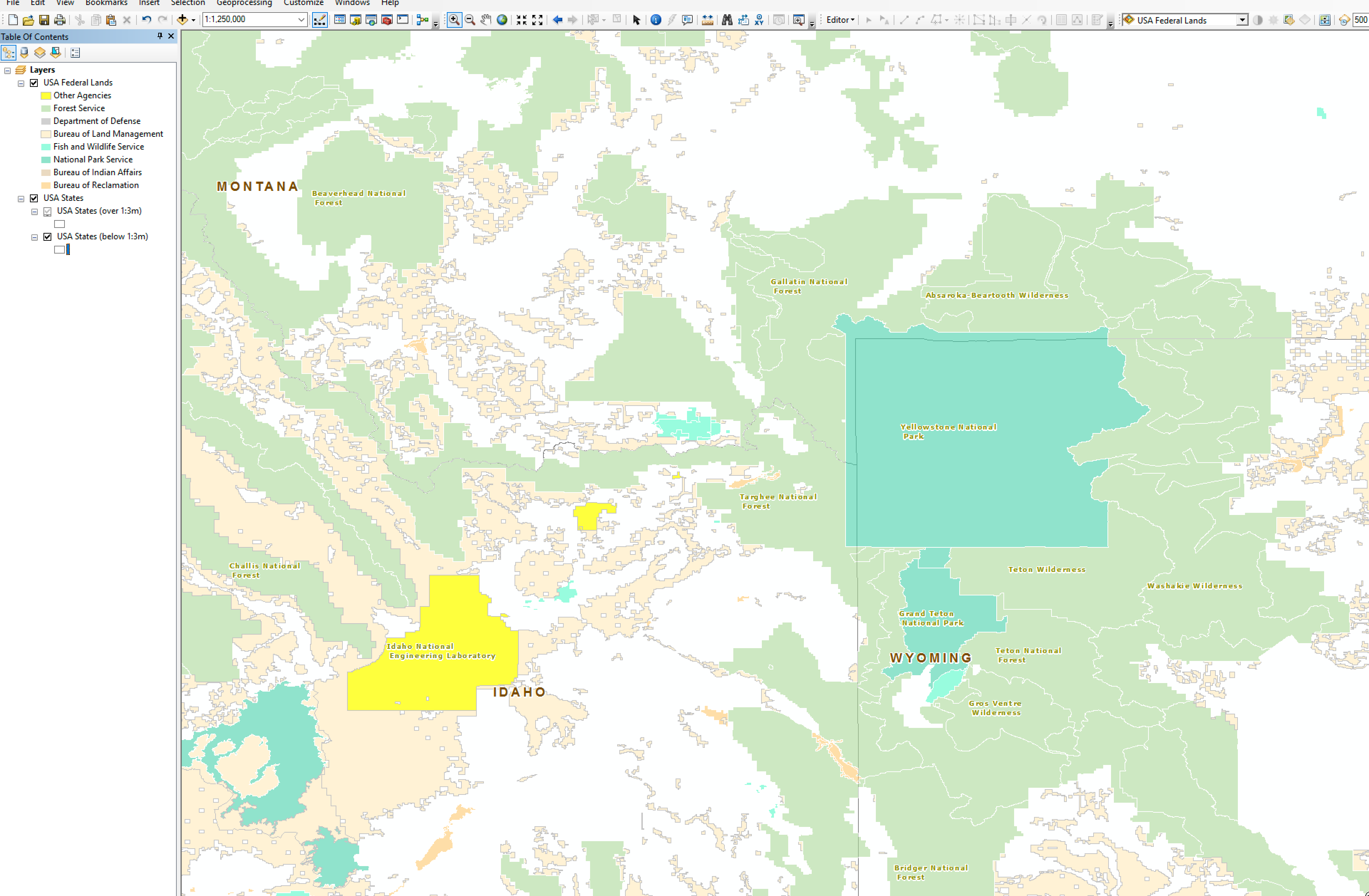
Hi,
have you tried to copy your kmz file (max 25mb) to locus/mapItems?
next activate your item
http://docs.locusmap.eu/doku.php?id=manual:user_guide:items:import&s[]=map&s[]=item
Hi,
have you tried to copy your kmz file (max 25mb) to locus/mapItems?
next activate your item
http://docs.locusmap.eu/doku.php?id=manual:user_guide:items:import&s[]=map&s[]=item
Hi,
to your question (I begin with second one).
2) Locus offers an offline (charged) NeoTreks Land use and Land cover layers. You can preview the maps http://neotreks.com/maps/ . Please check Land use layer if would be suitable for you. You can download custom are for offline use via Locus > Menu > Store > Regions > Americas > US > 'us state' > NeoTreks
1) I guess that you're lands data are vector based (probably some SHP file).
I'm not familiar with ArcGIS but it seems that you can use Arc2Earth to convert data into Mbtiles sqlitedb format.
https://www.mapbox.com/blog/arc2earth/
Please try following SW to export the data
The question is if Arc2Erth is able to convert directly vector based data into Mbtiles sqlitedb that is raster based. If not, you probably need to rasterize your vector data in the first step.
Thank you
Best regards
Petr
Hi Petr and balloni55,
Thanks for your responses!
balloni55, I tried what you suggested and it is indeed a little more convenient than importing the kmz as tracks! (even though it still needs to load thousands of tracks)
Petr, something like the Neotreks map is exactly what I was looking for. Unfortunately it's a little on the pricey side, especially since I won't need that particular layer all too often. I will look into Arc2Earth and mapbox.
Thanks for you help!
Cheers
Replies have been locked on this page!