
This object is in archive!
Messy elevation lines when zooming
Solved
Hello,
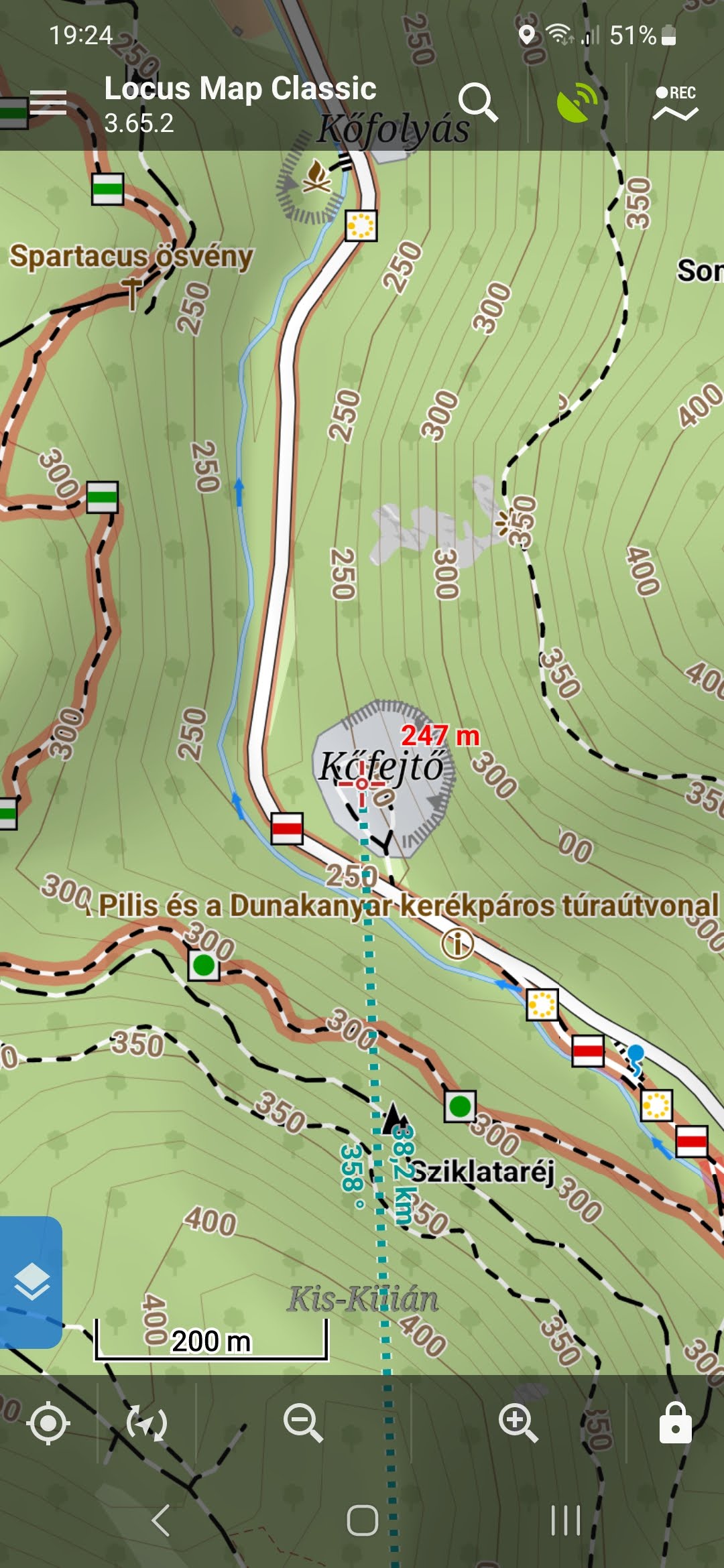
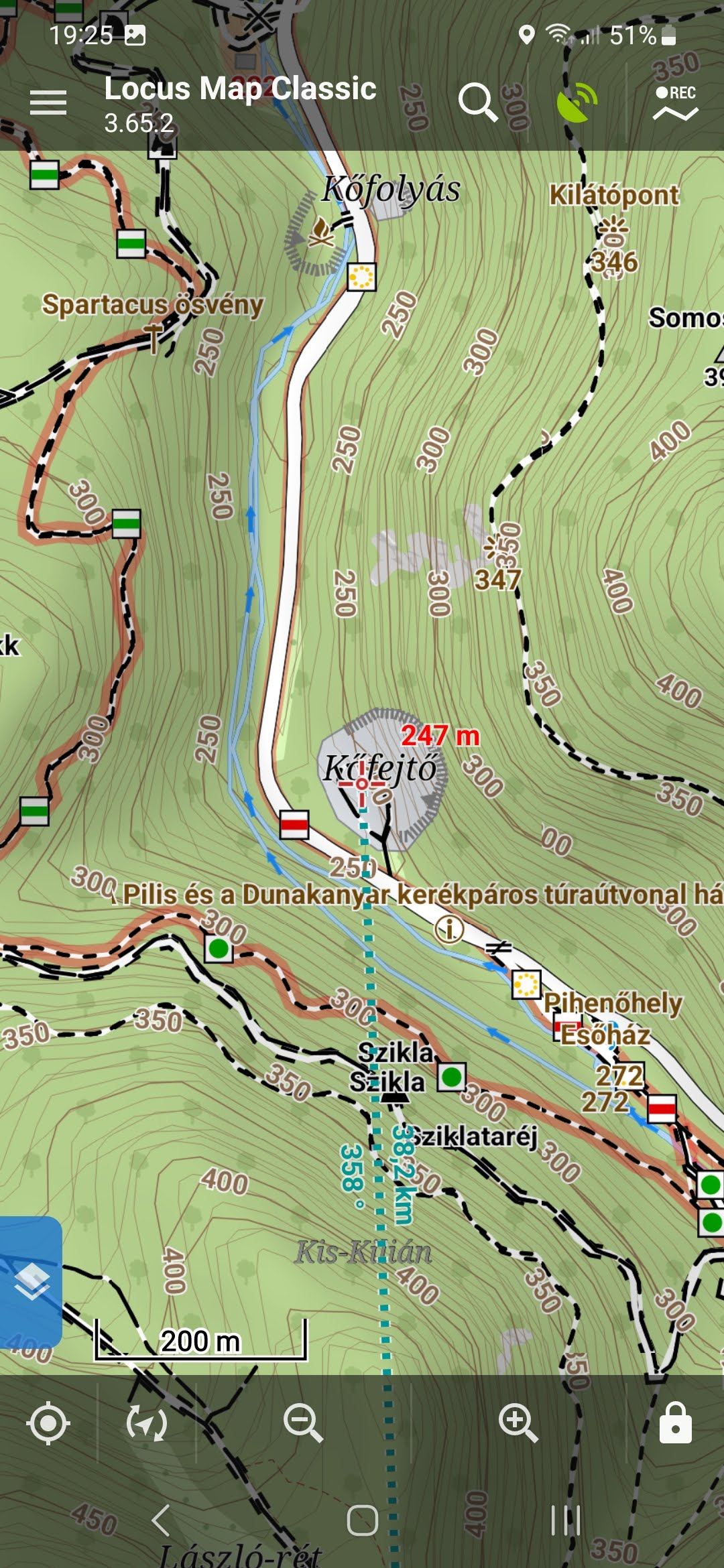
I am using a Locus Map Classic app with offline maps. I just realized that the elevation lines gets multiplied and causes messy map view when I heavily zoom-in or zoom-out back and forth. I mean the map looks OK. Then zoom-in almost to max then zoom back. Same symptom if zoom-out a lot then zoom back to original. The map view gets messy.
It is reproducible whit different maps and themes as well hence I assume this is an issue with the application.
 The same problem
Link to the map and theme: huntura.zip,Osmtura_Locus.zip,Elevate_osmtura.zip for testing
(locus-actions://http/turistautak.openstreetmap.hu/locusm.xml)
Link to the map and theme: huntura.zip,Osmtura_Locus.zip,Elevate_osmtura.zip for testing
(locus-actions://http/turistautak.openstreetmap.hu/locusm.xml)
Hello
deselect
settings/Maps/Offline maps/Automatic map loading
next time this behavior didn´t apeare again
Hello
deselect
settings/Maps/Offline maps/Automatic map loading
next time this behavior didn´t apeare again
Working fine, Thanks!
Working fine, Thanks!
Replies have been locked on this page!