
This object is in archive!
Maps with marked hiking trails
Answered
I use the LoMap Germany South, but I miss a more detailed distinction of trails.
I would like to know which trail is marked (in real life on the trail), which is a normal hiking trail, an alpine path or a designated climbing trail that requires climbing equipment.
Is there a map available (or a map layer) to find the marked trails and distinguish between trail qualities?
 The same question
You can use the maps from Openandromaps. And also the corresponding theme and set it to wander there.
https://www.openandromaps.org/
You can use the maps from Openandromaps. And also the corresponding theme and set it to wander there.
https://www.openandromaps.org/
In LoMaps are hiking trails marked by "main" trail color and real symbol (if known).
Alpine path (with defined SAC scale) use dashed line when there are three levels:
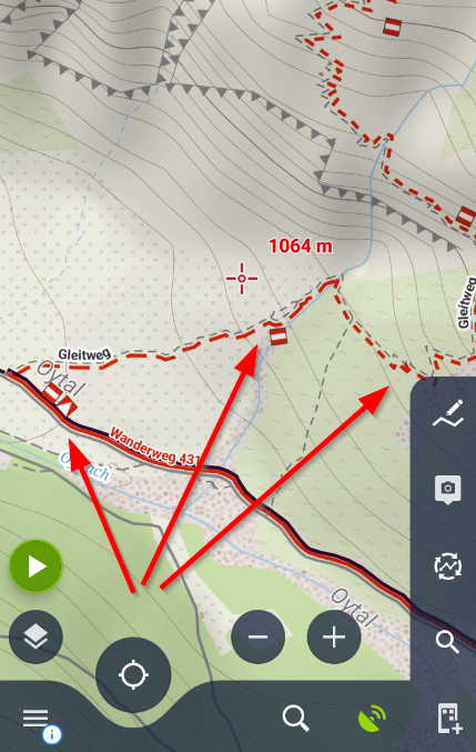
- T0 - T1 level are displayed as straight line
- T2 - as dashed line
- T3 and higher - short dash (rather dots)
Anyway, I'd suggest to always the local condition.
Replies have been locked on this page!