
This object is in archive!
Hiding routepoint icons
Answered
Hi there if I import a GPX route from an external source (in this case https://beta.slowways.org/user/waylist/000-slow-ways-national-parks-trail-march-2025-update/14996#close) then Locus maps displays it fine but all the routepoints are shown as black dots (see screenshot). They are a bit annoying as they obscure the route. So is there any way to stop Locus displaying the black dots? I have found that I can individually edit each point but only to replace it with another icon and not to hide it completely. Also you have to do each point separately and if there are hundreds in a route, it takes forever.
Many thanks for your help. It's a brilliant app and the more I use it the more I like it!
Adam
Files:
Screenshot_2025...
 The same question
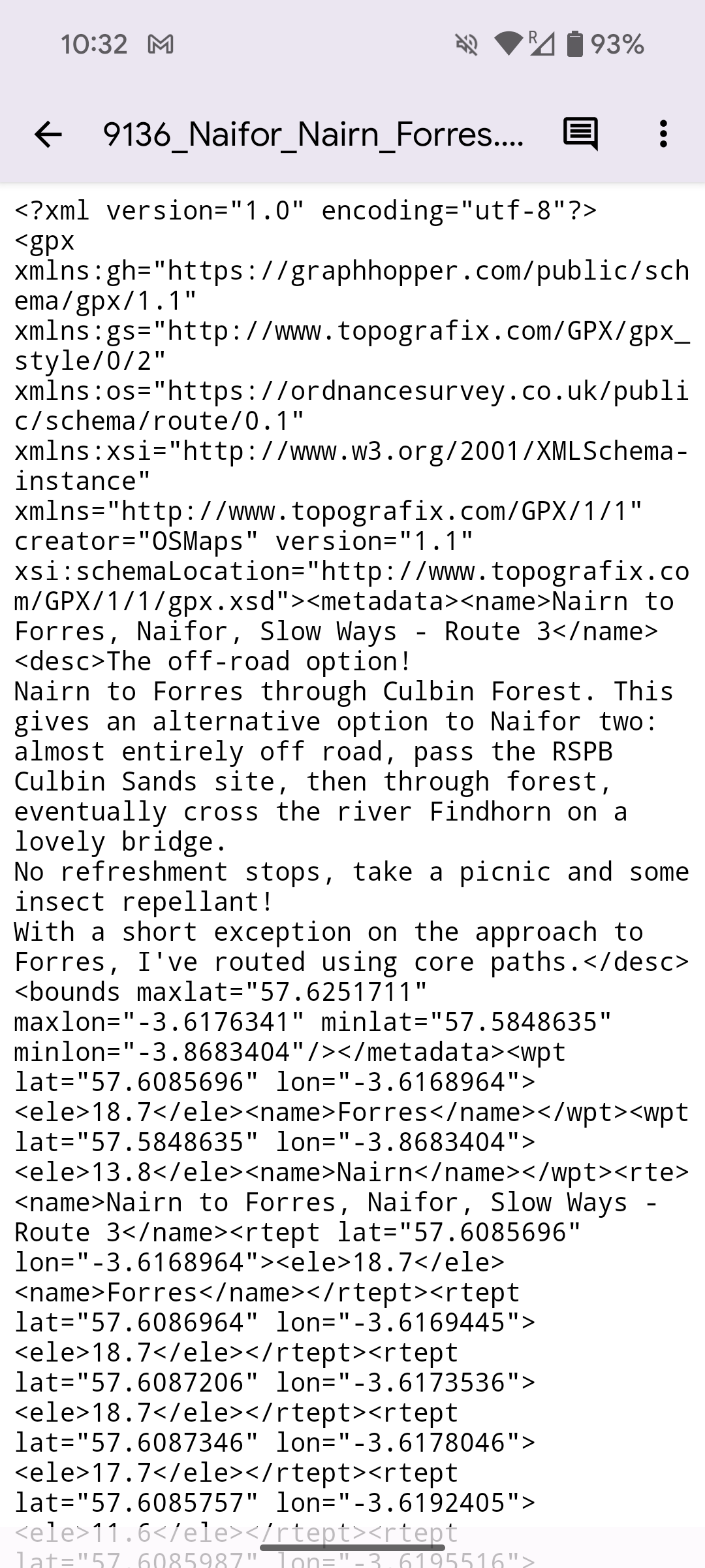
Sorry I added the wrong screenshot. Here is the correct one
Sorry I added the wrong screenshot. Here is the correct one
Hi Adam,
the GPX downloaded from the SlowWays is in a format suitable for handheld devices like Garmin (the route consists of RTEPT tags, not from TRKPT tags). Fortunately, there are free tools like https://www.gpsvisualizer.com/convert_input that can convert the file into something usable in Locus Map. Sending the converted file in the attachment.
That’s great Michal. Thanks for the feedback. Locus will import RTEP files ok it’s just the black dots on the points that’s a bit frustrating. I will look to see if a newer version solves the dots issue but if not I’ll just try using gpsvisualiser.
(By the way if you import the RTEP file into Locus then re-export it to Strava then re-export it from Strava as a gpx and then import the Strava GPX into Locus, it comes in as a track (with no black dots). Strava somehow converts the RTEPS into TRKPTS and artificially adds time stamps to each TRKPT at an average speed of 3.6km/h. I’ve no idea how it does it, and it’s a very cumbersome method, but at least it does remove the dots!)
Replies have been locked on this page!