
Support for proximity area around points
Add support for proximity area around points that may be used together with POI alert function. Optionally also draw a visible defined circle on a map.
POI alert should then use for notification this proximity distance for defined point and global value for all others.
Original idea
We use the program Locus MAP pro.
When we use the function "guidance along the track", we can set the distance to switch guidance to another trackpoint, such as 15 m. But this range is not displayed on the screen.
We often need to select multiple points (or any folder with points or a single track) and draw a circles around these points with a defined radius (for example, 15 m), and see them on the screen. Then we plan the path near the point to go inside the circle border.
Is it possible to include in the menu "Tools button" additional function "draw a circle with a defined radius around the selected points"?
 I like this idea
Currently, many people choose a good and functional software for android.
This function is required for many users of Russia.
Currently, many people choose a good and functional software for android.
This function is required for many users of Russia.
Good day Sergey,
thank you for sharing your idea. For me, it looks really close this idea: http://help.locusmap.eu/topic/geocaching-tools-draw-circle .
May you please explain me, usage of such improvement? Mainly why such feature may be useful for users that use Locus mainly for hike & bike & geocaching, as most users do. Thank you.
Thanks for the answer!
I enjoy of enduro racing and orienteering through the forest.
Every year a few steps in this sport competitions take place in Russia (for example Ladoga trophy http://www.ladoga-trophy.ru/en/ or Nimble Squirrel Karelia http://enduro10.ru/ and other)
According to the rules of the competition, we must pass a point in a radius of 25 m.
To be precise, we are set a radius of 15 m.
We need to see a circle around the trackpoint and plan the route correctly.
The easy way to set the defined radius is to select several points or a single track and enter the circle radius value in meters.
The possibility to choose specific points and draw the circles near is a necessary functional navigation software for us.
It's mainly useful for speed movement route. Maybe on bike, car, motorcycle or orienteering run through the forest.
It's useful for many others competitions.
Some photos about this sport
Some photos about this sport
Good day Sergey,
thanks for sharing your very interesting idea. I fully understand your requirement, but you have to agree, that such special use case is really rare and focused on your specific task. In case, I'll add extra button to bottom "tools" menu, I'm almost sure that for 99.9% of users, it will be useless button and I do not want to do it.
So sorry to say it, but I decline this idea. Alternative solution should be draw all circles manually over menu > more functions > geocaching tools > draw circles. In case of nine points per track, this won't be a huge problem.
Thanks for understanding.
Hi!
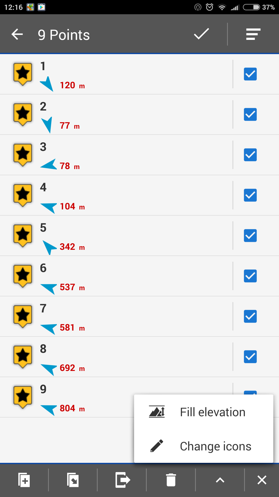
This track consists of 9 points was a test, for example.
Usually we use the longer tracks, consisting of 45 - 60 trackpoints (see attachment).
It is a more serious problem ))
Now many riders in Saint-Petersburg change Garmin equipment for the Android device programs.
Your program could be more popular with this addition!
Thanks for the answer!
Best regards!
Hi!
This track consists of 9 points was a test, for example.
Usually we use the longer tracks, consisting of 45 - 60 trackpoints (see attachment).
It is a more serious problem ))
Now many riders in Saint-Petersburg change Garmin equipment for the Android device programs.
Your program could be more popular with this addition!
Thanks for the answer!
Best regards!
Hello Sergey,
hmm from my point of view, a more useful and also more logical should be improve "POI alert" function for something like "Proximity". Currently you may define radius that Locus use for notification on points. Anyway it notify on all points with same value (btw. may you may use this function). So solution here should be allow to define "proximity radius on every single point" with option to draw also this radius.
Hmm sounds like quite a lot of work. Anyway it make then a lot more sense for common usage then this "draw circles". What you think? If we improve this idea title and text little bit, it may be more interesting for more users and I can imagine creating of such improvement. It may be quite usable also for some tourist guides etc.
Exactly!
This function can be realized in this way.
Here also can be activated the tool "to switch guidance to another trackpoint" from the "guidance along the track".
This tool also tracks your defined radius relative to the waypoint.
Exactly!
This function can be realized in this way.
Here also can be activated the tool "to switch guidance to another trackpoint" from the "guidance along the track".
This tool also tracks your defined radius relative to the waypoint.
In this way you may define radius that Locus use for switching guidance to another trackpoint.
You always use this function (10 m, 20 m or other). You need only select show on the map this circles or not.
In this way you may define radius that Locus use for switching guidance to another trackpoint.
You always use this function (10 m, 20 m or other). You need only select show on the map this circles or not.
Oo! I understood!!
I didn't write you!
Why we need to see this circles?
Because while riding on a motorcycle or ATV or off-road vehicle you can not hear the navigator signals. The engine is too loud! We see only the information on the screen ))
In this case if we can visualize more information on the screen that is better!
Hello Sergey,
one possibility to create circles around POI´s use
http://www.sgrillo.net/googleearth/gepath.htm
Howto:
- open your .gpx with Locus and fill altitude to points
- export your points as .kml/kmz
- open exported .kml/kmz with GEPath (1)
- set values (2)
- click Run (3)
- copy created .kml to Locus/mapItems e.g. attachement
- activate kml inside items
Hello Menion!
I ask to change the topic heading to a more suitable.
Perhaps this idea will get more votes in this case.
Hello Menion!
I ask to change the topic heading to a more suitable.
Perhaps this idea will get more votes in this case.
Hello balloni55!
Thank you for this solution!
This option is possible as a temporary solution, at home, with computer or notebook.
During the competition we are given waypoints for a few hours before the start.
And usually we don't always have the Internet connection in the forest.
So I would like to receive a decision within the locus functions.
About the GEPath:
When I try to export my points as .kml/kmz, locus make file only with format .kmz
This format is not open with GEPath. What am I doing wrong?
Hello Sergey
So I would like to receive a decision within the locus functions
exactly so i do ;-)) therfore i vote for this idea
-
And usually we don't always have the Internet connection in the forest
If you use GEPath on e.g. a notebock you didn´t need Internet connection.
-
When I try to export my points as .kml/kmz, locus make file only with format .kmz
if you uncheck "include icons...", file will be exported as kml
but it´s no problem if your result of export is a .kmz
kmz is a packed folder, so unpack it and you´ll get the needed .kml for use in GEPath and additional a folder with attachements.
Wolfgang
balloni55, thanks for the advice!
I understood how to use the GEPath.
It is not easy, especially when you need to edit a sequence of trackpoints in a text file .kml ))
Thank you!
balloni55, thanks for the advice!
I understood how to use the GEPath.
It is not easy, especially when you need to edit a sequence of trackpoints in a text file .kml ))
Thank you!
Hello Menion!
Will this good idea be realized? )
It's important for me and my friends!
We are thinking about next riding season!
Only one ☑️ "show the proximity distance"
Hello Menion!
Will this good idea be realized? )
It's important for me and my friends!
We are thinking about next riding season!
Only one ☑️ "show the proximity distance"
Good day Sergey,
sorry to say it, but currently this is not planned.
Good day Sergey,
sorry to say it, but currently this is not planned.
OK.
OK.
Replies have been locked on this page!