
This object is in archive!
Measuring distances with two fingers on the screen
Completed
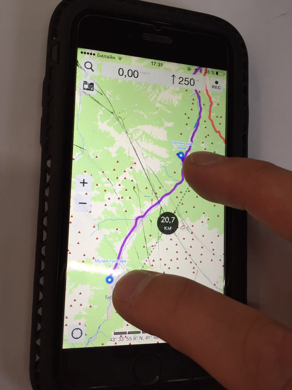
For operational distance measurements would be convenient to use the touch screen with two fingers.
What do you think? Show how it works in Galileo Offline Maps .
Thank you ! Your Locus maps the best! 
Files:
2 fingers dista...
 I like this idea
Nice idea... it also needs to show altitude difference between the two points.
Nice idea... it also needs to show altitude difference between the two points.
Hello guys,
as a separate feature, there already exists "Add new route & measure" so what will be extra benefit of this? You will still have to tap somewhere to start this feature and then it's almost same, except this is extremly inaccurate.
Maybe the idea here is to automatically display distance on the map when two fingers tap it?
Video how it works. Trust me, its very usefull. https://youtu.be/P9DPFo1t_bk
I will be happy if Locus can do this =)
Good luck!
Video how it works. Trust me, its very usefull. https://youtu.be/P9DPFo1t_bk
I will be happy if Locus can do this =)
Good luck!
I thing that it will be very usefull! I want it!)
I thing that it will be very usefull! I want it!)
Great feature, especially when you're on the move, you periodically want to measure some
distances in fast and simple mode.
And besides Locus is positioning itself as a hiking and etc app, so that kind of things ought to be at hand IMHO.
Great feature, especially when you're on the move, you periodically want to measure some
distances in fast and simple mode.
And besides Locus is positioning itself as a hiking and etc app, so that kind of things ought to be at hand IMHO.
Hi!
Good idea! I think it is really need for Locus!
Hi!
Good idea! I think it is really need for Locus!
The "advanced" version of such a feature would be:
a) after half a second, do a point-2-point measurement like in the video.
b) after one second, display a calculated route between the two points and measure that (distance and climbing(!)).
Obviously you start route calculation after 0.5s quietly in the background already, so it is ready after 1s. You use the last configured route options, whatever they were. You do not ask any questions or display any dialogs (<- IMPORTANT). You just switch from point-2-point-measure to route-measure after a while.
When one of the two fingers moves, you switch back to point-2-point.
When the fingers are removed, everything goes away quietly.
Not sure if average route calcuation speed makes such a dynamic thing worthwile... but hey... you can try :).
Hello guys,
agree, nice, interesting idea.
For testing purpose will be enabled first "testing" version in next Beta version of Locus Map.
Hello guys,
agree, nice, interesting idea.
For testing purpose will be enabled first "testing" version in next Beta version of Locus Map.
Works nicely... the basic version :-). I wouldnt make it appear initially while the fingers are still moving, because now you basically cannot zoom without measuring. Should only show up when fingers are still for a while. But thats probably a matter of taste.
Works nicely... the basic version :-). I wouldnt make it appear initially while the fingers are still moving, because now you basically cannot zoom without measuring. Should only show up when fingers are still for a while. But thats probably a matter of taste.
Simple and nice. Tnks Andrey for proposal.
Simple and nice. Tnks Andrey for proposal.
Works nice. I like this already since it shows you easily whats still ahead.
Works nice. I like this already since it shows you easily whats still ahead.
Works smoothly. Very handy. Thanx, Menion!
Works smoothly. Very handy. Thanx, Menion!
I wouldnt bother with a on/off settings item for this btw. It's smooth an unobtrusive and shouldn't disturb anyone. No need to make settings even more complex.
Just share color & font size & data with the guiding arrow setting... and maybe draw a little grey alpha 20% disc around the data in the middle to indicate the "temporary" nature.
Hi guys,
glad it works fine for you. I've improved style so now it match style defined for "Add new route & measure" function (not guiding). I've also added settings to turn on/off this feature into settings as I believe there will be users who wants to disabled/enable it (btw. it will be for now disabled by default).
I was thinking about possible extensions to this feature and from my point of view, best should be colorize track by elevation or display tiny elevation profile above a line. Compute of track between two points should be quite complicated and for longer tracks it may take some time. Anyway I'll see after first feedback from public version.
Thanks for now Andrey for nice idea and all others for a useful feedback.
Oh where is the altitude gone?I now only See the distance above the arrow.
Oh where is the altitude gone?I now only See the distance above the arrow.
config.cfg
values above/below lines: nothing: '0', distance: '1', bearing:
'2', ETA: '3', elevation: '4', time to: '5', ETA & time to: '6'
config.cfg
values above/below lines: nothing: '0', distance: '1', bearing:
'2', ETA: '3', elevation: '4', time to: '5', ETA & time to: '6'
It may be a stupid question, but where in the settings can I turn this on? I spent 10 minutes looking, but couldn't find it. Thanks!
It may be a stupid question, but where in the settings can I turn this on? I spent 10 minutes looking, but couldn't find it. Thanks!
This feature is very useful, thanks! One small suggestion though. When I'm holding two fingers on the screen and the distance is displayed, moving one finger around updates the distance while also at the same time zooming in or out. It would be nice if zooming was turned off while the distance is being measured.
This feature is very useful, thanks! One small suggestion though. When I'm holding two fingers on the screen and the distance is displayed, moving one finger around updates the distance while also at the same time zooming in or out. It would be nice if zooming was turned off while the distance is being measured.
This is a very useful feature. Thanks!
But it is sometimes difficult to read it, if the text ends up behind something else (caches, height measurement, crosses etc.). It would be nice if you could put this text at the top. (Possibly with a square background too)
This is a very useful feature. Thanks!
But it is sometimes difficult to read it, if the text ends up behind something else (caches, height measurement, crosses etc.). It would be nice if you could put this text at the top. (Possibly with a square background too)
Great! Thank you very much, Menion!
I have just came from two-weeks trophy by car in Caucasus moutians with Locus.
And this feature is present for me!
Perfect! Thank you!
Great! Thank you very much, Menion!
I have just came from two-weeks trophy by car in Caucasus moutians with Locus.
And this feature is present for me!
Perfect! Thank you!
Can't make it working. Should I set something somewhere? I can't find where and what at all.
Can't make it working. Should I set something somewhere? I can't find where and what at all.
I'm not sure whether I should open new ticket since this one is marked completed or to add new post here.
I have two thoughts about using this fancy feature.
It would be nice to lock (disable) two finger zoom when displaying measurement, so user could better adjust measured points. But sometimes I want to zoom and not to measure. I can't find a way how to distinguish those two activities. Maybe some some time offset without move (zoom).
It would be nice to offset map by approx 5mm after triggering two finger measurement, so it would be possible to check which points are really measured (the connected points wouldn't be under fingers but slightly over fingertips).
I'm using this feature to get vertical distance of two points that are ahead (ie: it is 450 height meters from walley to the summit). Than any inaccuracy could cause quite big mistake.
I know that both point interfere with zooming, that is more important to work smoothly, this is just brief user experience.
Leaving line for a while when fingers are off the screen is nice update. I can double check if I was correct and if not, I can take another try. After first try I'd prefer few hundred miliseconds more, but it's just first try.
Have you been thinking about leaving the line until next tap without any time limit? I'm not sure if it was better, just an idea.
Replies have been locked on this page!