
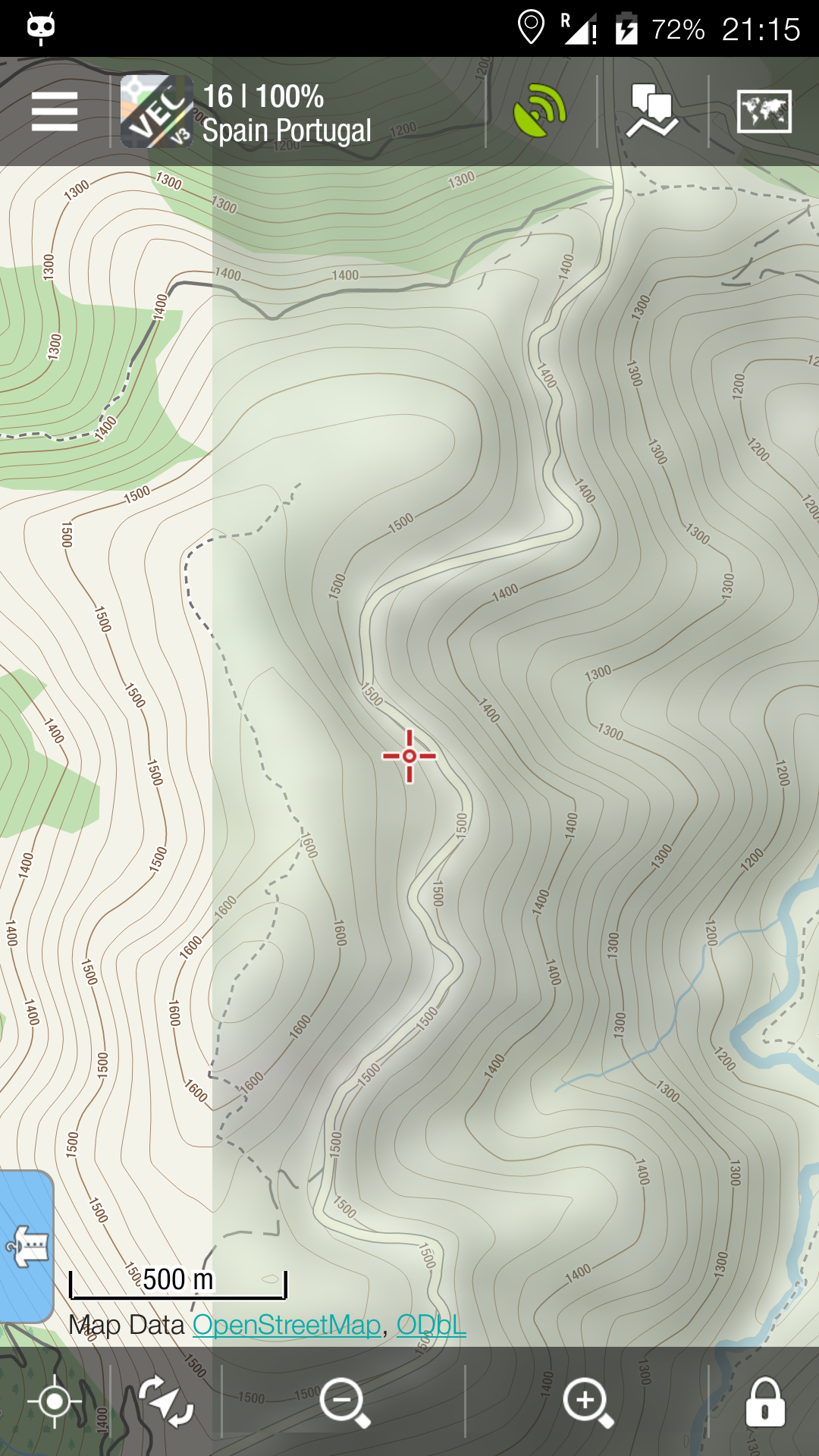
Offline map tiles scaling
Hi, would be possible to render missing map tiles from closest available zoom level in case there is not internet connection?
It is partly working now if I have a map from zoom level 18, I can keep zooming in and see the map even if I am offline, but if I move somewhere else I will end up with missing map tile.
So the feature should look for maps on different levels and scale available map tiles to my actual zoom level. No storing to DB, just for the moment, or maybe temporary table, or maybe store it to DB but with flag that is generated and can be overridden next time when is accessed.
This can work with zooming out as well.
For example I used vector map with overlay Google Terrain. I have zoom level for terrain 11 and I can zoom to level 18+ and still benefit from the terrain map.
So what do you think about it.
 I like this idea
Hello
The possibility to display offline map zoom levels that don't exist in the corresponding SQLite file will be welcome.
This idea is useful mostly NOT for displaying an higher zoom level (for example displaying zoom level 19 with data from zoom level 18) as the resulting display will look blurry, but for displaying lower zoom levels (chiefly for terrain and satellite maps).
Example:
The user has downloaded maps with zoom the levels 14 16 and 18, disregarding zoom levels 15, 17 to save download volume.
Displaying zoom level 17 with the data of zoom level 18, and zoom level 15 with the data from zoom level 16 will allow to keep high quality maps and to see a larger area (rather than to have a confusing white screen that briefly gives a heart attack until one realizes that he has to change the zoom level).
On terrain and satellite maps, displaying the images of zoom 14 with zooms 13, 12, 11 etc will show very nice and clear maps. Therefore with the data of zoom 14 data, the user will be able to see a much larger area than the one limited to zoom 14.
As the information concerning the actual data image zoom level and the percentage zoom relatively to the data image is available in the scale bar, the user will know what is going on.
Thanks and regards
Call me cynical but this feature sounds like it will require substantial programming effort (in image-processing) when the solution is to simply download all the zoom levels you plan to use.
I don't mean to sound unsympathetic but if your phone's storage can't hold a few extra zoom levels ... you're going to run out of space very soon anyway.
PS: there is a FACTOR of 4 between the number of raster tiles in two neighboring zoom levels, which illustrates that this is a non-problem.
PS: there is a FACTOR of 4 between the number of raster tiles in two neighboring zoom levels, which illustrates that this is a non-problem.
Replies have been locked on this page!