
This object is in archive!
Antarctica Map Discussion - WGS 84 / Antarctic Polar Stereographic EPSG:3031
Answered
Hello
Planing to use Locus for my Antarctica expedition this season.
Does anyone know how can I make a Antarctica map (WGS 84 / Antarctic Polar Stereographic EPSG:3031) work with the APP?
I did tried Image Map Calibration, result attaching
Thanks!
Astrozy
 The same question
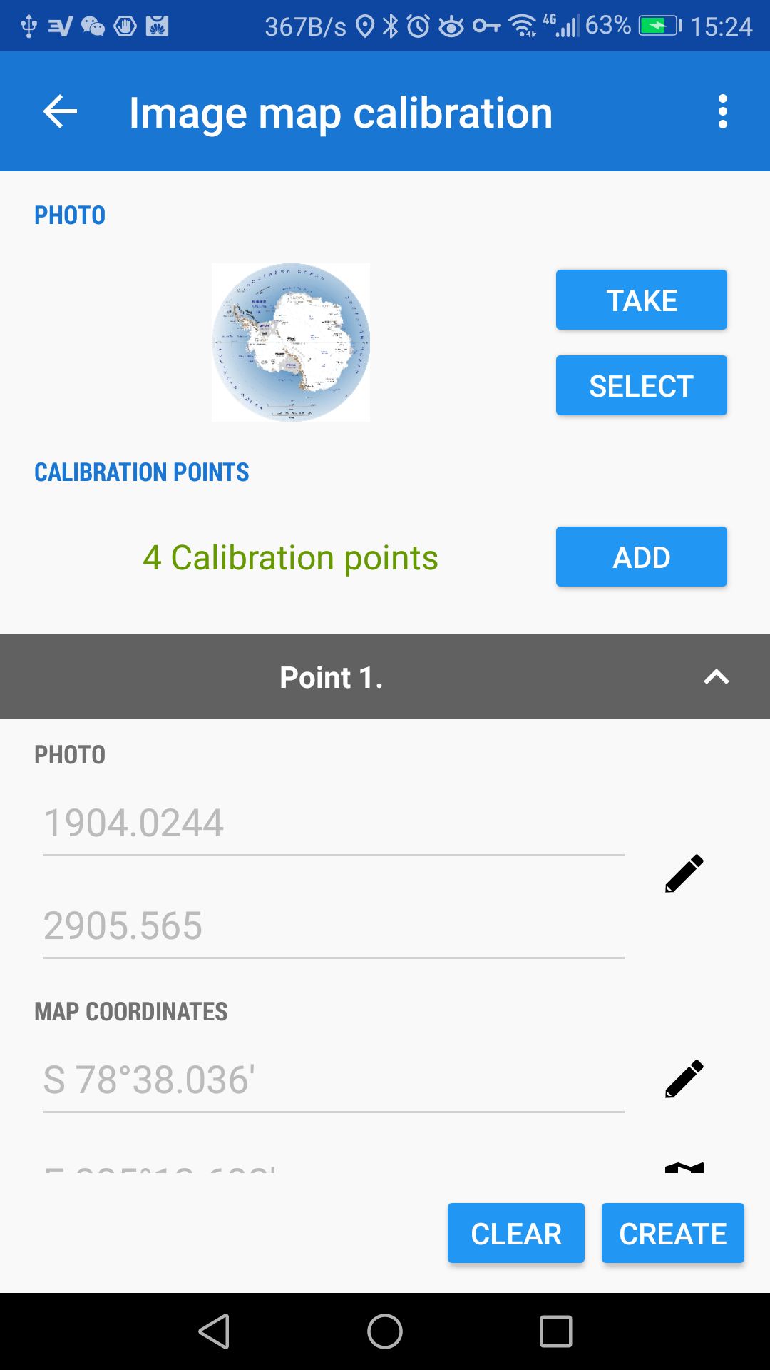
Hi Astrozy
thank you for question and we're pleased that you want to use Locus in your expedition.
Unfortunately the internal map calibration is limited and can not prepare map form polar areas (due to map projection limitation). However Locus supports another map format (Trekbuddy) that can be in "arbitrary" projection and Locus should load it. There is also SW called Mapc2Mapc that is able to convert images or map into mentioned Trakbuddy format. I tried to convert the geotiff (in EPSG:3031) but there are some problems. For this reason I contacted the developer of this SW... I'll inform you if we find some solution for you.
Best regards
Petr
Hi Astro,
I'd like to inform you that we find the way how to prepare map in EPSG:3031 for Locus.
The key part is the Mapc2Mapc SW http://www.the-thorns.org.uk/mapping/down.html The latest version can load map (geotiff) in EPSG 3031. Please install the app:
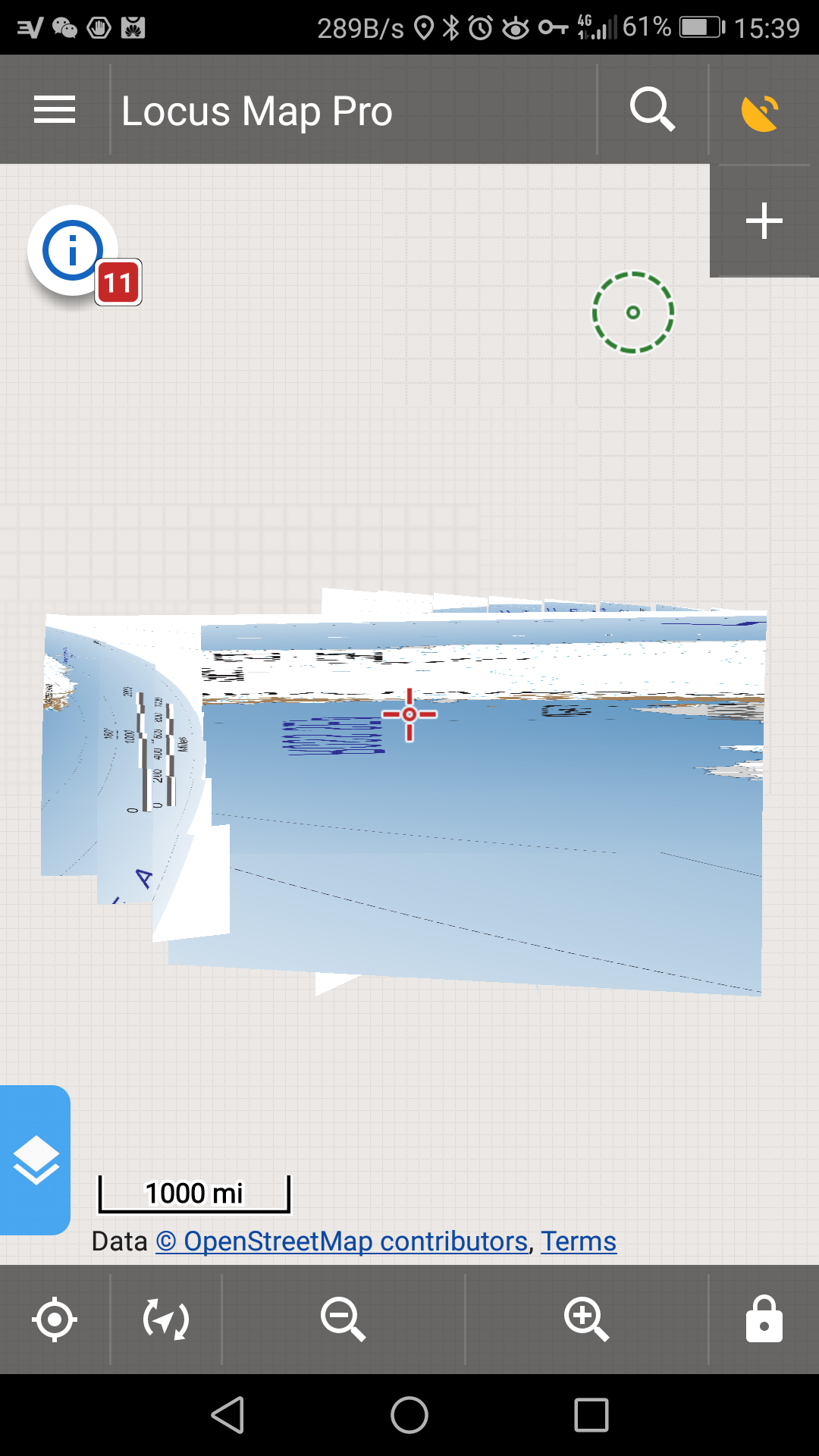
Please see the attached example.
Best regards
Petr
Hi Astro,
I'd like to inform you that we find the way how to prepare map in EPSG:3031 for Locus.
The key part is the Mapc2Mapc SW http://www.the-thorns.org.uk/mapping/down.html The latest version can load map (geotiff) in EPSG 3031. Please install the app:
Please see the attached example.
Best regards
Petr
Replies have been locked on this page!