
This object is in archive!
How did version 3.30 get a more accurate GPS location
Answered
http://www.locusmap.eu/news-version-3-30-0/
How is that possible?
What did you do to improve GPS signal processing just by using android api
I mean you can't calculate the signal runtimes of each satelite by your own, thats done by the system, isn't it?
You did already confirm that you don't use raw GSSN data (http://gpsworld.com/innovation-precise-positioning-using-raw-gps-measurements-from-android-smartphones/).
 The same question
Hi,
in 3.30.0. Locus used Fused Location Provider system (https://developers.google.com/location-context/fused-location-provider/) as default. It solved many issues with Locus/GPS killing by system when running in background and promised more accurate positioning. Alas, it didn't work on all Android devices and the best indicated accuracy was 10 m which annoyed a lot of geocachers (despite the fact that mobile phones technically can't acquire better GPS accuracy). So after many hours of testing, many beta versions, we decided to return the old method of using system GPS data and in version 3.30.4. we added FLP to settings as an alternate method.
It make sense to get different accuracy values over different apis if they use different data sources.
But did you realy get different SNR values per satellite?
I can't belive that SNR could change across differnt APIs
It make sense to get different accuracy values over different apis if they use different data sources.
But did you realy get different SNR values per satellite?
I can't belive that SNR could change across differnt APIs
Good day Falco,
SNR values for satellites are of course same. These parameters define "quality" of received GNSS signal, so they cannot be influenced by the software algorithm.
Anyway, the precision of old and new system use in Locus Map should be little different.
Old system (now again used as default) use direct access to computed coordinates (over so-called LocationProvider). New Fused location provider (now available under settings > GPS > Google services assisted location) compute coordinates from few sources together. It considers coordinates from GPS, Wi-fi and Cell-ID tower triangulation, but also from motion sensors etc. All this together is "fused" into new coordinates, which in most cases should be more filtered and little more precise (thanks to predictions).
Did I give you answer to your questions? Feel free to ask if not, I'll try to help if possible.
Jiří M. aka Menion
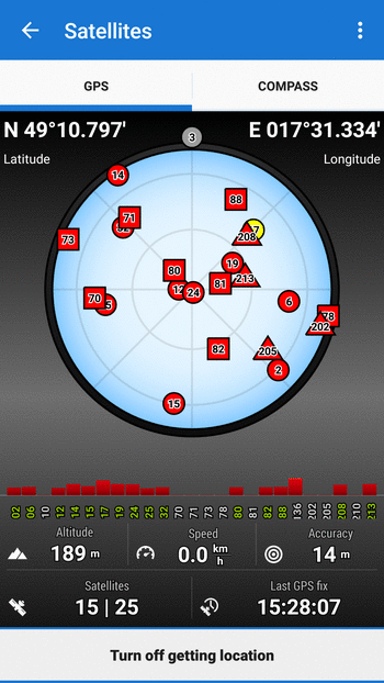
That answer make sense. The 3.30 Satellite comparison gif is a little bit misleading.
Thank you.
That answer make sense. The 3.30 Satellite comparison gif is a little bit misleading.
Thank you.
Replies have been locked on this page!