
Add radius for points
Gathering feedback
Здравствуй! Спасибо за отличную работу!
Можете ли вы добавить конфигурационные радиусы для точек (lile proximity distance in ozi)? 3 или более радиуса - все в порядке. Мне это нужно для моего хобби. Я думаю, что это не так сложно для divelopment, но очень полезно видеть области вокруг точек, когда пользователи ищут что-то на карте.
Files:
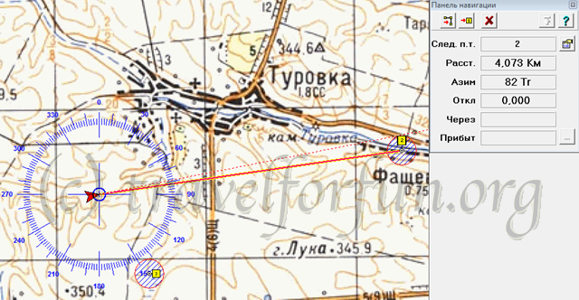
image49.png
 I like this idea
Now we are have an instrument for this - draw circle in geocaching instruments. But it doesn't save then app close and open again. And if I draw circle wrong, I can't delete or edit. Can you add to point info menu radius of point? It's not for geocaching, I need variable parameters for each point. Thanks!
Now we are have an instrument for this - draw circle in geocaching instruments. But it doesn't save then app close and open again. And if I draw circle wrong, I can't delete or edit. Can you add to point info menu radius of point? It's not for geocaching, I need variable parameters for each point. Thanks!
Replies have been locked on this page!