
Map drawing problems when zooming
In Progress
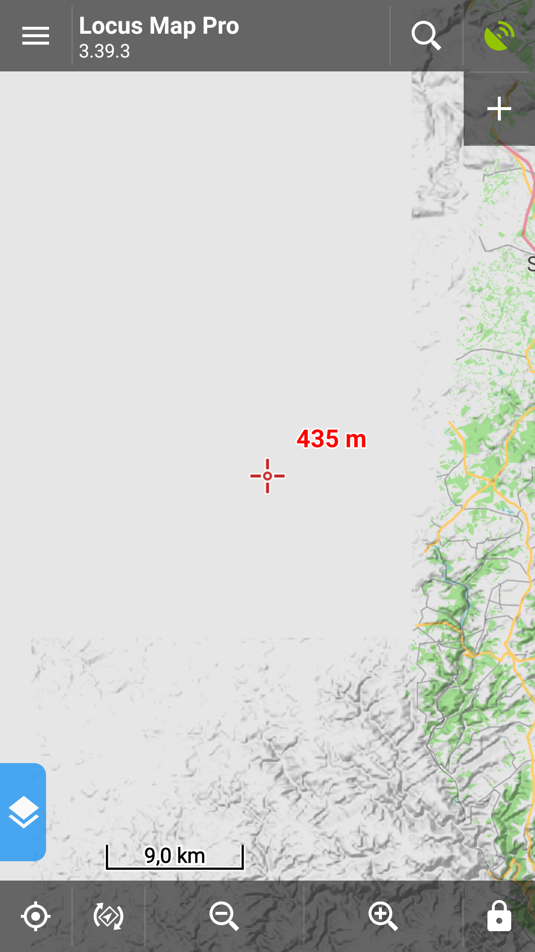
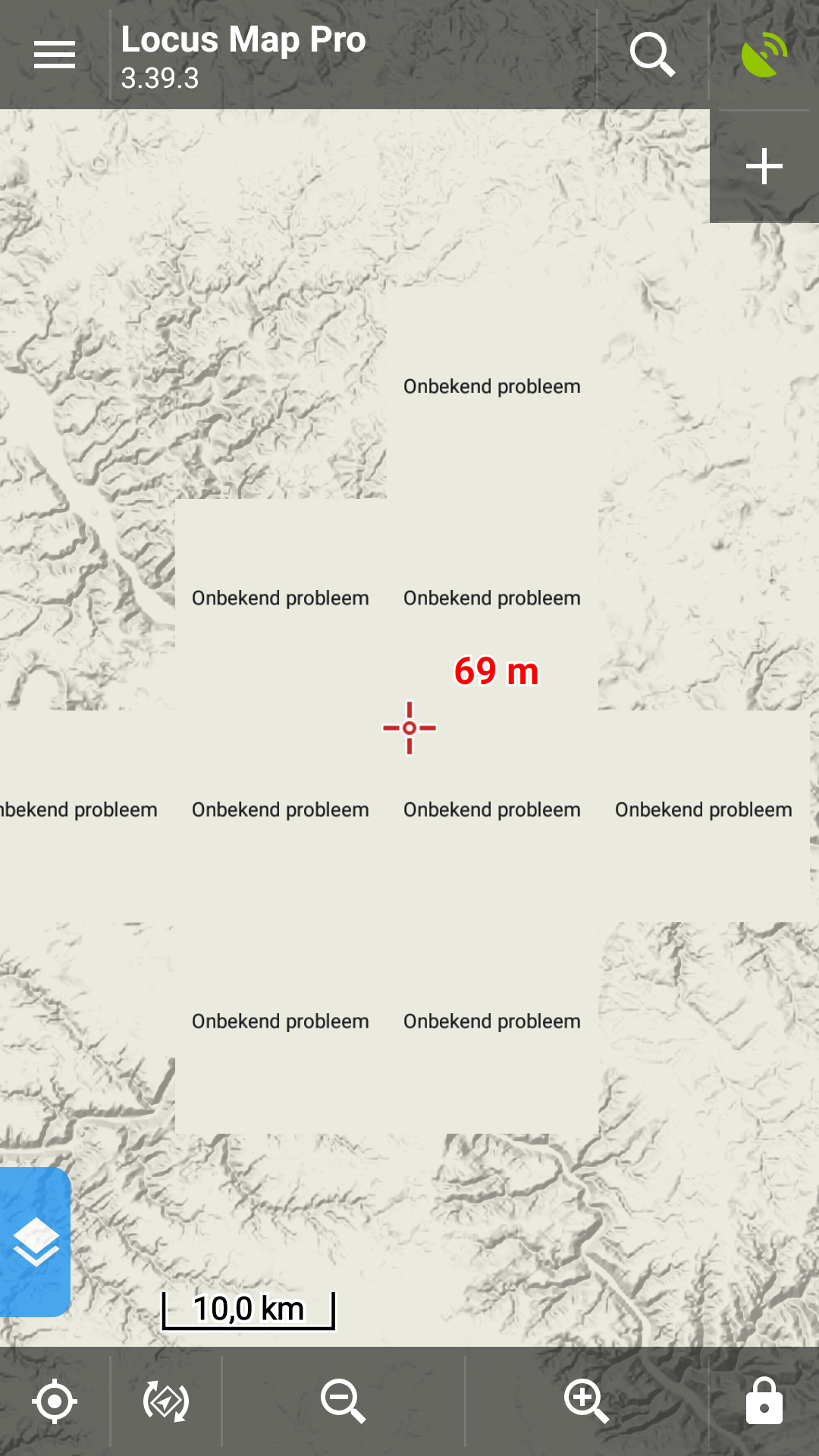
I am having problems with maps being drawn incomplete when zooming or panning the map. Parts of the map are drawn, parts are not drawn, and some parts only the altitude shadows are drawn. And one time some of the tiles showed a text which translates into "unknown problem".
Switching map does not solve the problem, as one of the video's shows.
I am using offline maps from Locus Map, Freizeitkarte and OpenAndroMaps. They all show the same behaviour. I have attached some screenshots and video's.
 The same problem
Hi George,
thank you for screenshots and videos. I guess that there it could be caused by auto-loading feature. Would you please try following:
Try the steps you shown on your videos. Is there any progress, please?
Thank you
Petr
Hi George,
thank you for screenshots and videos. I guess that there it could be caused by auto-loading feature. Would you please try following:
Try the steps you shown on your videos. Is there any progress, please?
Thank you
Petr
Hello Petr,
Unfortunately this does not solve the problem. See attached video and a screenshot of the offline map settings. "Geen automatisch laden van kaarten" means "No map auto-load". I am not using raster maps, only vector.
Regards,
George
Hello Petr,
Unfortunately this does not solve the problem. See attached video and a screenshot of the offline map settings. "Geen automatisch laden van kaarten" means "No map auto-load". I am not using raster maps, only vector.
Regards,
George
Hello George,
thank you for the video. I can see that Germany South is shown properly. Please see the attached image (below) that depict the area for Germany South map. You can see that area of coverage is the same as area displayed in Locus. You can ignore the hill shading - it's independent on the map area.
From my opinion is the 'problem' caused by other maps you use. You can try to temporary 'remove' the other offline maps and to keep only LoMaps maps in Locus folder. After that enable auto-loading for vector maps and test to zoom in/out
Thank you
BR Petr
Hello Petr,
Finally I found the cause of the problem. In Settings - Maps - Advanced settings - Pre-load global map I used the world.map from MapsForge. Removing that solves the problem.
Is there a bug in Locus, or is there a bug in the map? Is there another offline map that is better?
Regards, George
Replies have been locked on this page!