
This object is in archive!
LoMap is below sea level
Answered
I've been using Locus Map for only a few weeks, and so far it's a great app (except for crashing several times a day while out riding my motorcycle).
I'm preparing for a trip and decided to purchase the USGS vector maps from the Locus Map store. After installing that map, now my LoMaps are all blue, I think that the system thinks sea level is several hundred meters higher than it should be, or something along those lines.
If I delete the USGS vector map, the issue seems to go away on the LoMaps.
What am I doing wrong?
Files:
Screenshot_2019...
 The same question
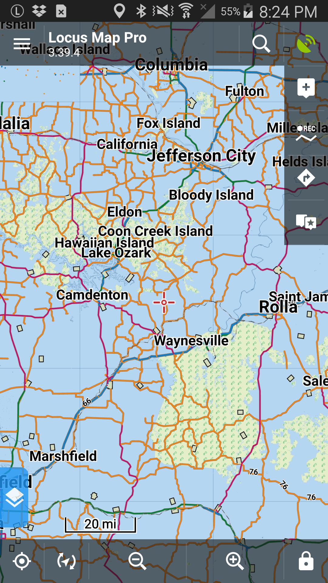
I found the solution, it's in the Map Themes. When switching to the USGS Topo Vector, it applies a theme "US_Style", when switching back to LoMaps, this theme stays applied. Switching back to a LoMap internal Theme fixes the issue.
I found the solution, it's in the Map Themes. When switching to the USGS Topo Vector, it applies a theme "US_Style", when switching back to LoMaps, this theme stays applied. Switching back to a LoMap internal Theme fixes the issue.
I found the solution, it's in the Map Themes. When switching to the USGS Topo Vector, it applies a theme "US_Style", when switching back to LoMaps, this theme stays applied. Switching back to a LoMap internal Theme fixes the issue.
I found the solution, it's in the Map Themes. When switching to the USGS Topo Vector, it applies a theme "US_Style", when switching back to LoMaps, this theme stays applied. Switching back to a LoMap internal Theme fixes the issue.
Hi Nick,
I'm sorry for troubles. It's needed to use correct theme for particular maps. JohnThorn USGS maps requires US Style theme and for LoMaps is needed to use any internal theme.
Thank you for understanding
BR Petr
Hi Nick,
I'm sorry for troubles. It's needed to use correct theme for particular maps. JohnThorn USGS maps requires US Style theme and for LoMaps is needed to use any internal theme.
Thank you for understanding
BR Petr
Replies have been locked on this page!