
This object is in archive!
Offline map (Canada Topo) not downloading correctly
Not a Problem
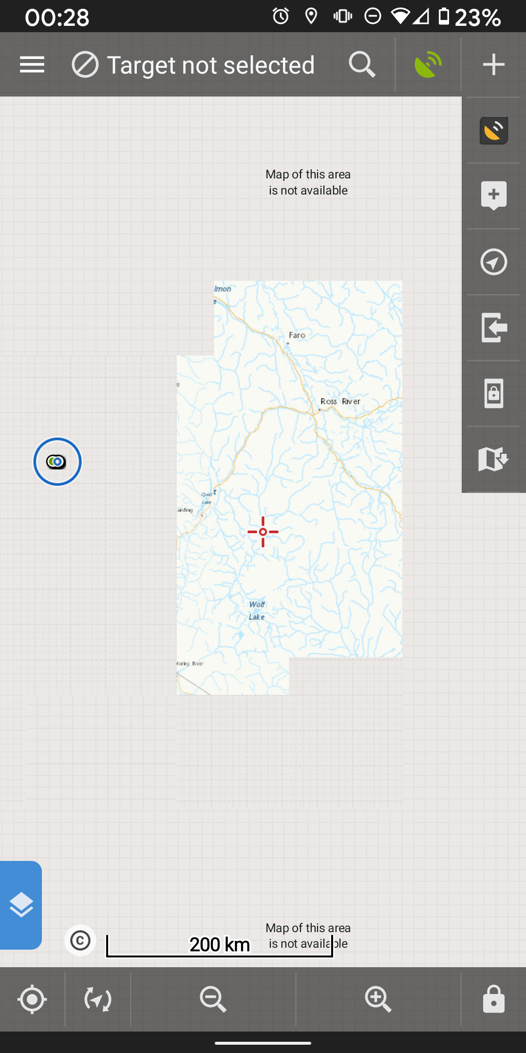
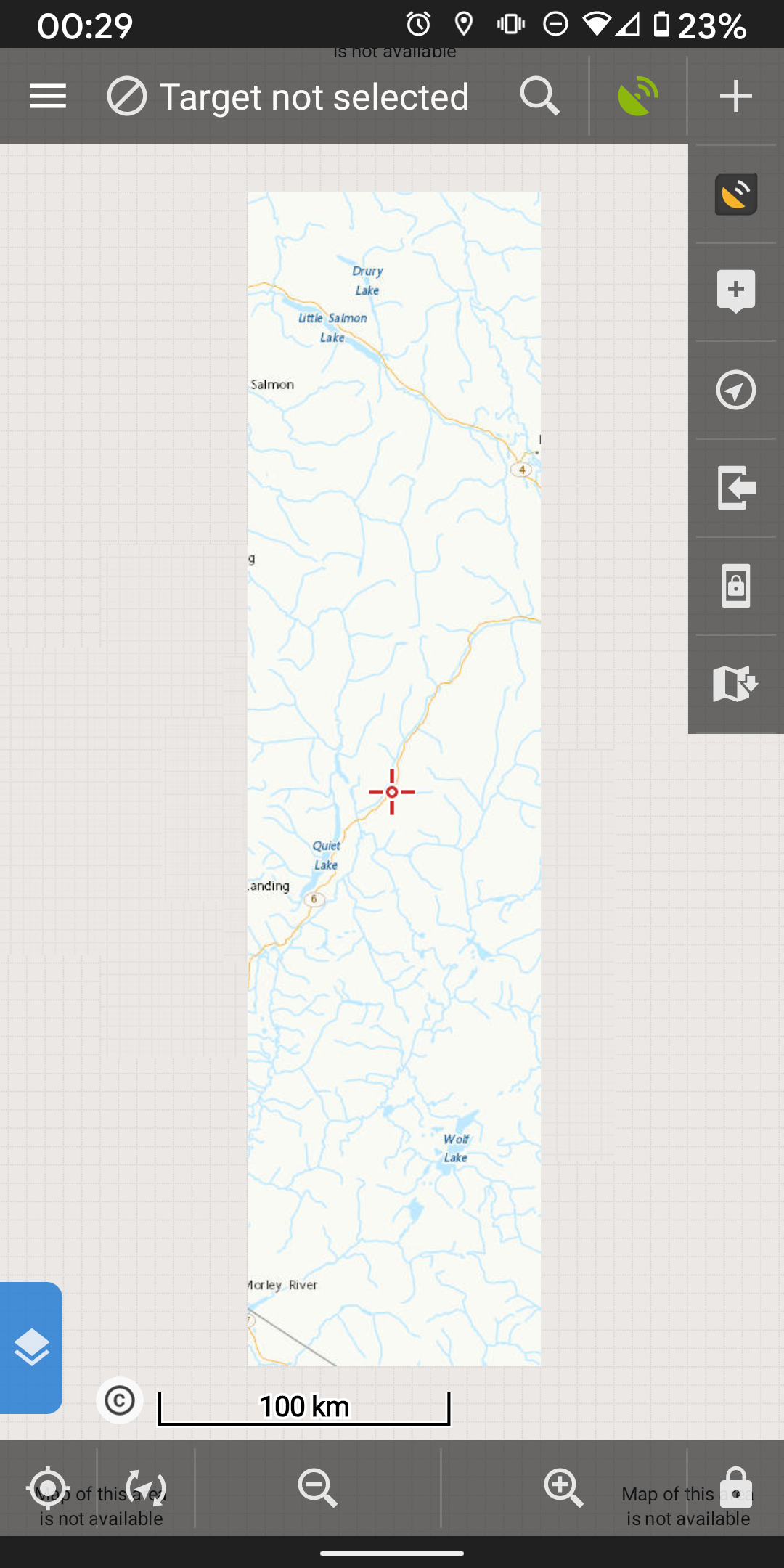
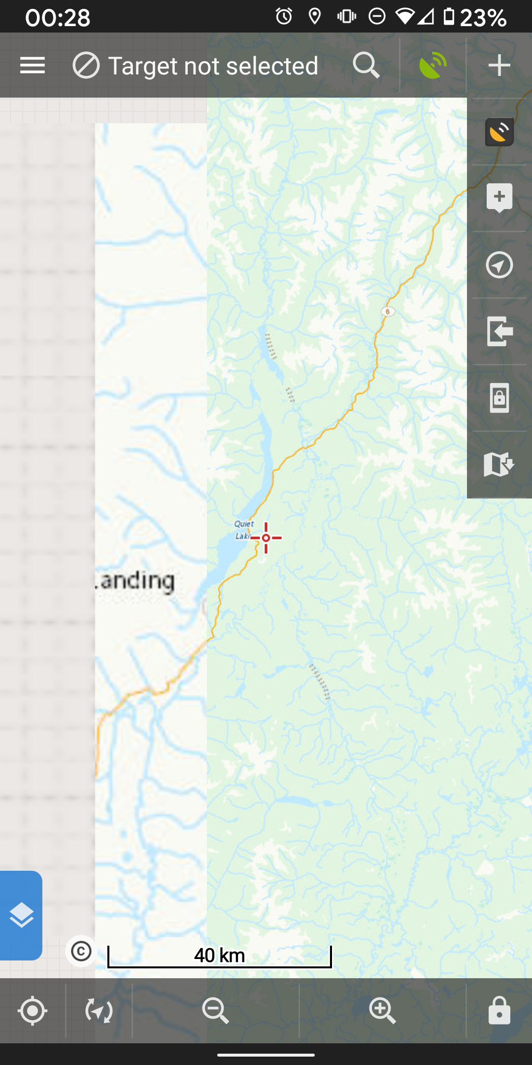
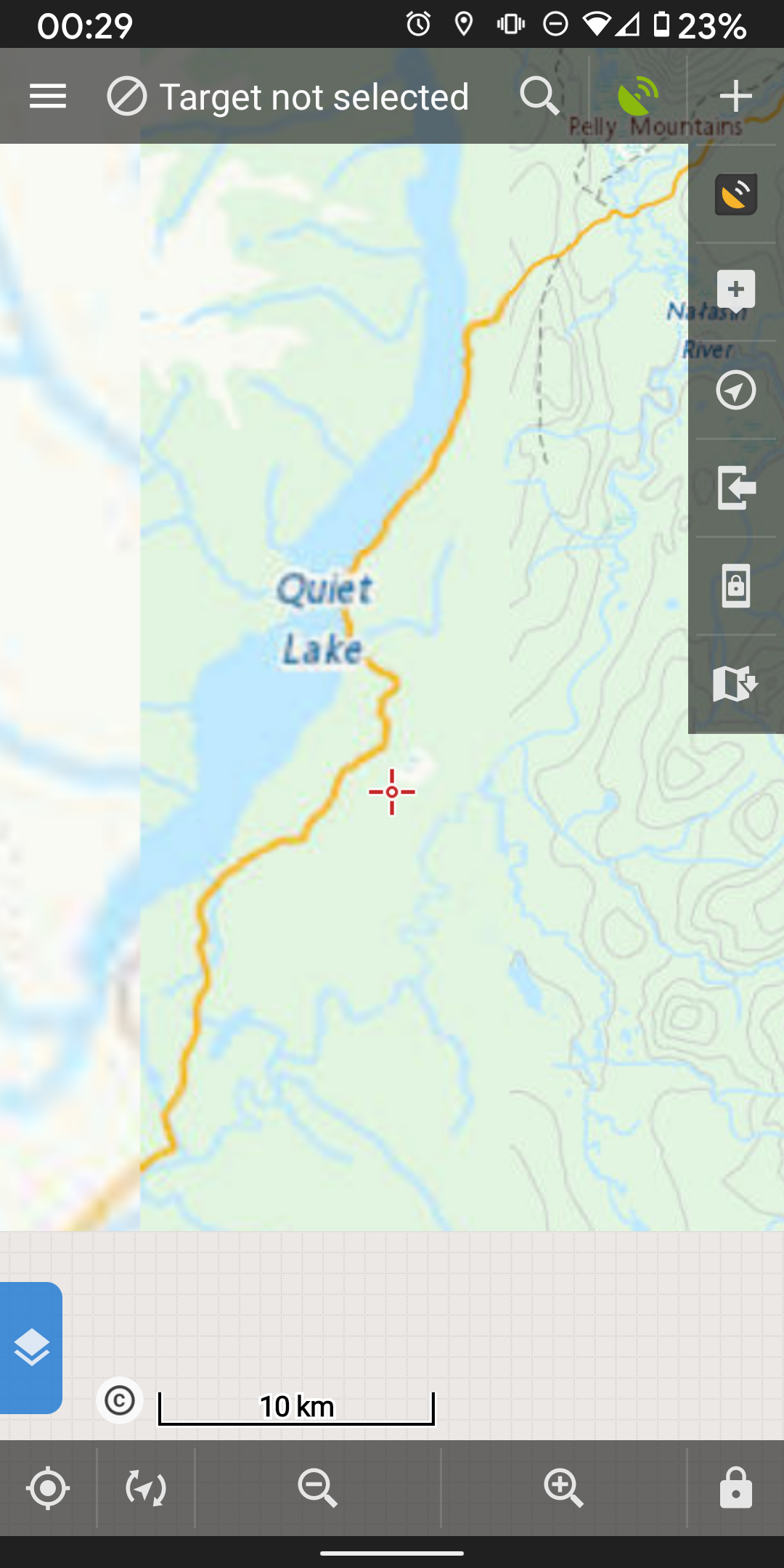
When I download Canada Topo maps for offline use, they seem to download in varying quality. First, the area downloaded is a lot smaller than the area I selected. And as I zoom in, the outer edges don't download the finer zoom levels as the centre of the downloaded map. I've tried downloading very large areas to hopefully catch the area I want in detail. Can Topo maps shows more rivers and more detailed elevation than the other map products I have access to.
Please let me know what additional info you may need.
 The same problem
actually I might have reached a daily download limit. I swear it said I was only downloading ~5000 tiles and the daily limit is 10000 tiles.
actually I might have reached a daily download limit. I swear it said I was only downloading ~5000 tiles and the daily limit is 10000 tiles.
Hi,
I'm sorry but that's correct behavior. Raster based map like Canada topo are build from small images - tiles and the area of coverage is defined by mentioned tiles. For this reason, the downloaded map covers a little bit bigger area than the area you defined for downloading. And the downloaded area is also different for different zoom levels. This causes the mentioned artefact on the edge of the map but the defined area should be properly downloaded (check it in the most detailed zoom-level)
Canada topo has set a limit 10 000 tiles per day (24 hours). I'm sorry but are you really sure that you downloaded only 5000 tiles in last 24 hours?
Replies have been locked on this page!