
This object is in archive!
elevation contours inaccurate/wrong
Answered
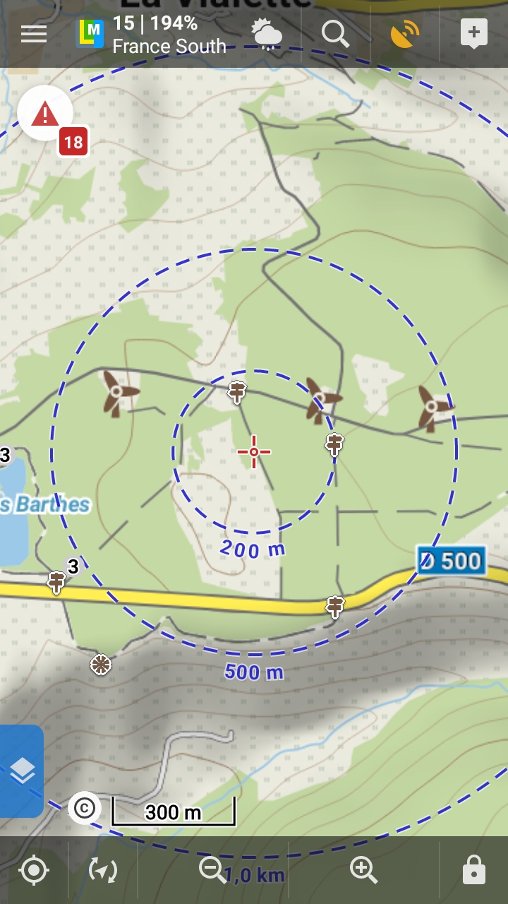
Although the elevation which is displayed after a long touch on the maps is usually correct (+ or - 3 meters), the elevation contour lines drawn on the LoMaps are wrong. The point of reference for these lines I'm comparing to is the French National Geographical Institute (IGN) map (which also agrees with OSM maps loaded from tbe OsmAnd Android app) : see attached screenshots for instance. The LoMaps are maps you need to pay for and one would expect to get a higher quality. That beeing said, the Locus Map is still a great piece of work.
 The same question
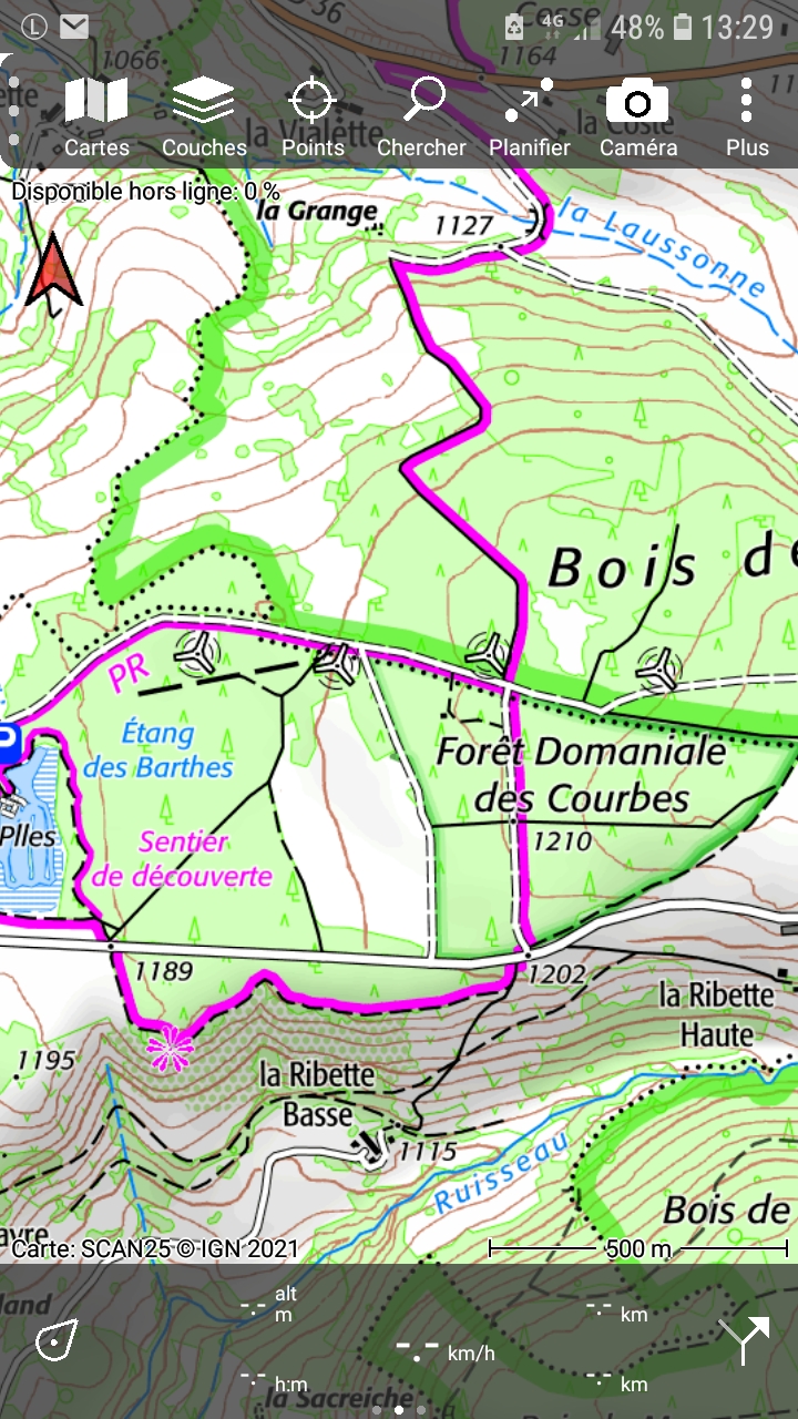
The most accurate data are currently the Lidar elevation data from Sonny. Openandromaps uses these for the contour lines in the maps. Compare with the cards from OAM. I don't know which data LoMaps use for the maps. Maybe OSM and OSMand are both using inaccurate data? Compare with the cards from OAM and then you can see which cards differ.
The most accurate data are currently the Lidar elevation data from Sonny. Openandromaps uses these for the contour lines in the maps. Compare with the cards from OAM. I don't know which data LoMaps use for the maps. Maybe OSM and OSMand are both using inaccurate data? Compare with the cards from OAM and then you can see which cards differ.
Hi,
we use a combination of SRTM, viewfinderpanoramas and also mentioned Sonny's lidar datasets for contour lines in LoMaps, or for elevation data. To be honest the contour-lines in LoMaps can be several months outdated but contour lines for France are generated from Sonny lidar data.
I'm sorry but I can't see the errors in the attached screenshot. Could I kindly ask you to little bit highlight it?
I'd also suggest using dynamic elevation feature to see the elevation at the map center cursor - https://docs.locusmap.app/doku.php?id=manual:user_guide:maps_settings#dynamic_elevation
Thanks, Petr
Replies have been locked on this page!