
This object is in archive!
Trails are thin and hard to see
Answered
Hi, I have most recent version of locus map on Android.
I live in Quebec, Canada. I use a map from Locus Map.
The trails as shown in screen shot are very thin(narrow), hard to see and looks like topographic lines (both types of dotted lines).
Is there any way to see them bigger?
Files:
Screenshot_2021...
 The same question
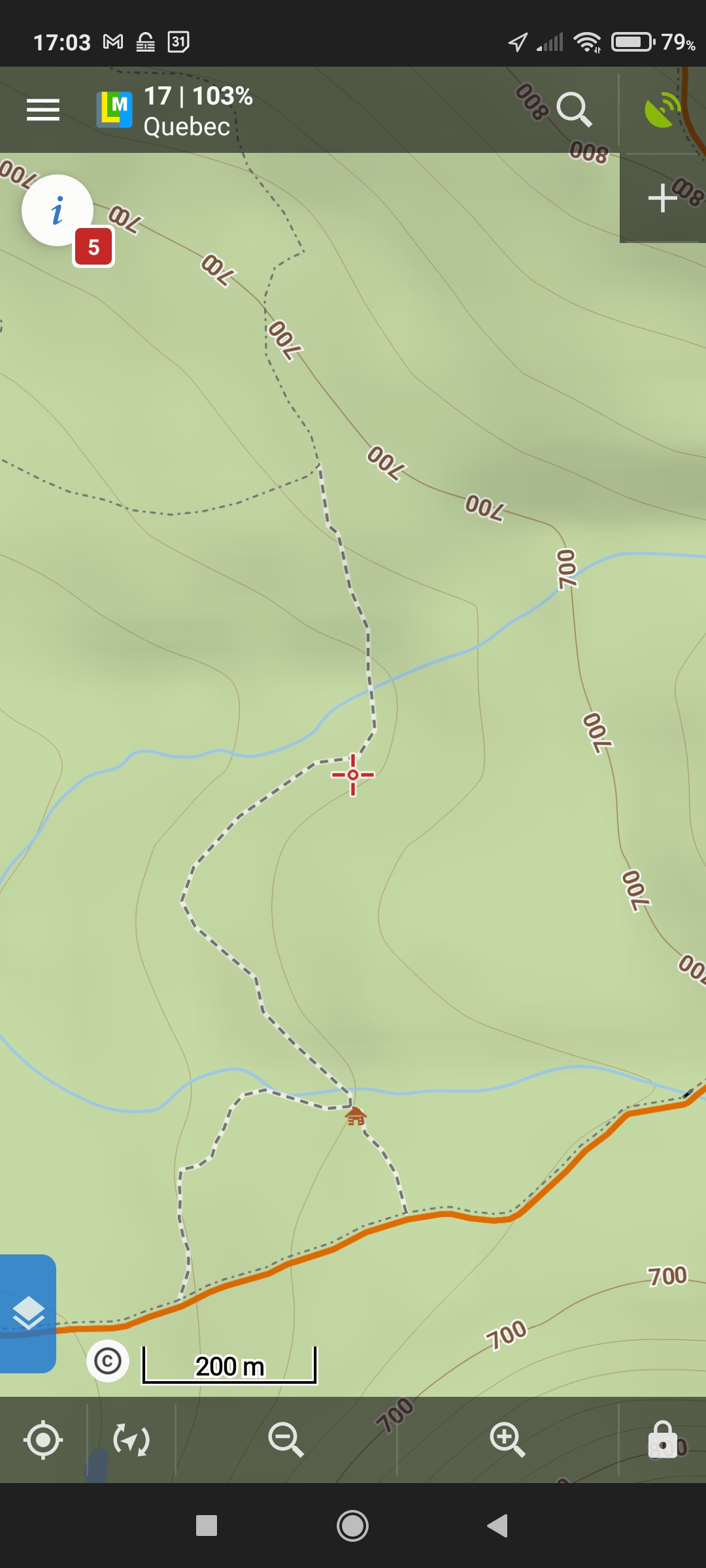
Dear Eric,
I can see two types of lines on your screenshot the paths (line with white background) and footways (dash-and-dot line). I can agree that the footways have worse visibility but the footways should be mapped only in residential areas https://wiki.openstreetmap.org/wiki/Tag:highway=footway They are thin to make the map better readable in residential areas.
I don't know the local context but I guess that these footways aren't well mapped. Do you know if the mentioned dash-and-dot ways can be considered as footway, please?
Anyway, I can suggest to scale the map resolution in Menu > Settings > Maps > Advanced features > Magnify maps > set eq. 150% to scale the map
Thank you
Petr
Thanks a lot Petr,
It seems to be a little bit better now. I set it to 200% it appears alittle bit easier to read.
But it would be a GREAT option to show these 2 types of path (and every hiking types) more larger and easier to read. They are extremely difficult to see in bright sunlight where we need to be able to read them. The problem will become more and more applicable with display with higher DPI (PPI) pixel per inches.
What is weird is that it is easier to see at a larger scale. It passes from 276% to 155% when I zoom in and where I loose the proper visibility??? If it would stay like the attached file, it would be better!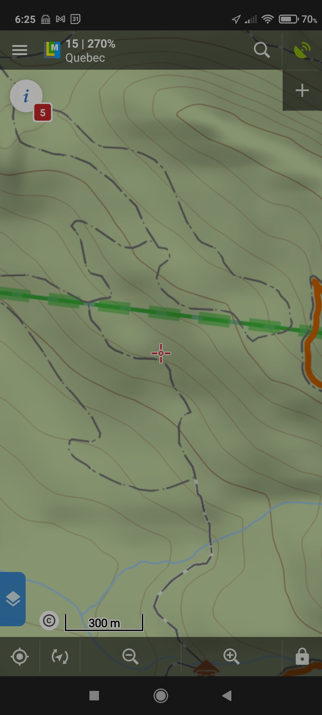
Thanks a lot for your feedback!!!
Eric
In fact, they also disapear to quickly. It would be REALLY NICE if that layer would stay at "3 km" zoom level because it give a better idea of all surrounding trails and possibilities. Having a Hiking "Style" map would be really great 😁😉👍.
In fact, they also disapear to quickly. It would be REALLY NICE if that layer would stay at "3 km" zoom level because it give a better idea of all surrounding trails and possibilities. Having a Hiking "Style" map would be really great 😁😉👍.
Dear Eric,
thank you. The problem with zoom is very likely caused due to re-scalled map. You basically see a smaller part of the map and paths disappear too quickly. If possible, please set only a 150% scale.
As I mentioned the one path is the city footway and different sizes would complicate the urban areas. Anyway, we consider a little bit different color to improve visibility these paths.
Thanks, Petr
Thanks a lot! I will set zoom to 150%!
Thanks a lot! I will set zoom to 150%!
Replies have been locked on this page!