
Experiences with touring routing profile
In Progress
To my understanding "touring" means travelling with bike bags on long distance cycling paths.
But the touring profile uses too often gravel paths or even foot paths although there exist other options.
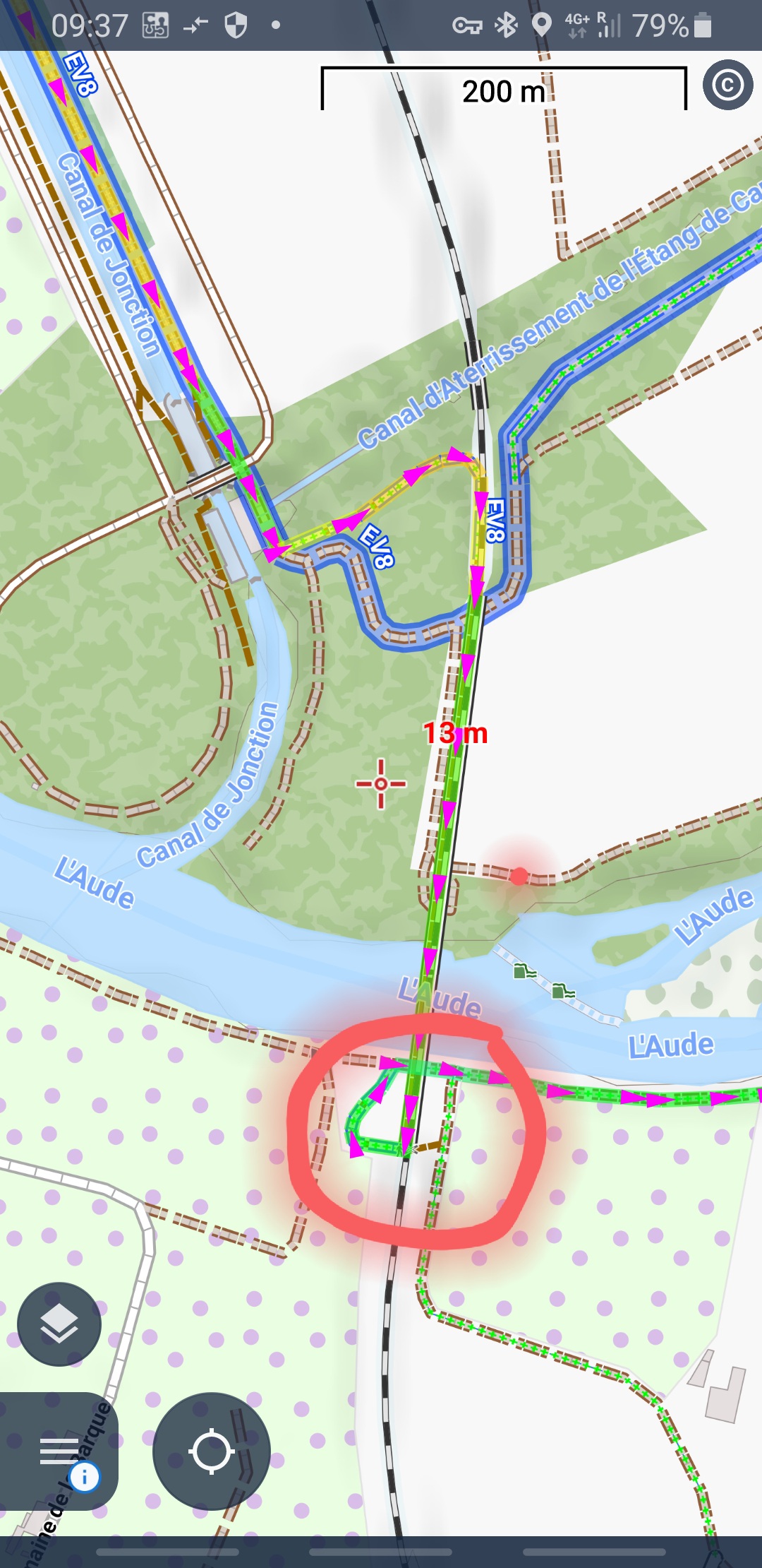
I attached an extrem example where the route leads along a foot path over an abandoned railway bridge. On the end only a dangerous, small and very steep stair connects to a gravel path.
And this although the EV8 runs nearly in parallel.
When planning a route it is not possible to double check each and every meter of the computed route!
 The same problem
Hello Walther,
There are 3 routing profiles for cycling. Road cycling is for the Tour de France kind of cyclists. MTB is for fat tires and those who typically want to avoid tarmac, even when the alternative is considerably longer.
Touring is for all diverse people in between. Quite often used by cyclists riding modern gravel bikes. This is not ideal, we know it and we work on the possibility to customize routing for cyclists more. (Strictly stick to the cycling routes option). But this is going to take some time, unfortunately. Anyway I will check the stairs section and maybe make stair more of a problem for cycling. (Stairs are no strict no-go now). Thank for the report, happy travels! Radim, backend dev.
@Radim:
For the future it would be good if you can choose if stairs are ok. Normally we drive with the MTB short stair sections. With Gravel it is now and then also ok. If there are only 5-8 steps, you wear the Gravel halt short. Others want to have it but in any case not. For example, if you have a heavy e-bike.
It also makes a difference whether the stairs are driven down or up. Uphill is more of a problem.
So for your requirements the MTB profile is foreseen, isn't it? As said, touring is long distance travelling with bags.
So for your requirements the MTB profile is foreseen, isn't it? As said, touring is long distance travelling with bags.
Hello Radim,
thanks for your reply.
Usually I switch often back and forth between road bikeing and touring in order to optimize the route.
In the given example, at the end of the bridge, their is a stair on one side and a steep declining wall of perhaps 50 cm width on the other side which you could maybe ride down with an MTB.
I would really appreciate an option to strictly use marked cycling routes. Maybe also with a ranking to prefer long distance routes over local routes.
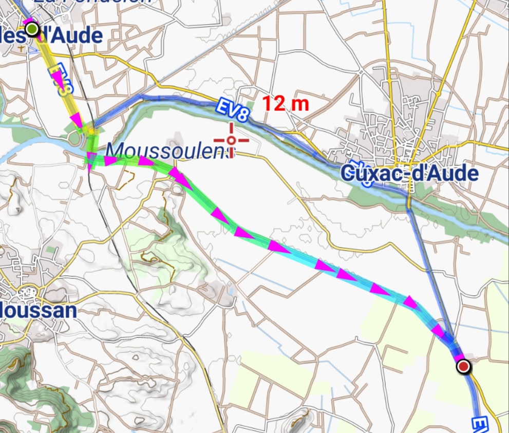
The information is available in OSM and are visible with my prefered styles from OAM (see screenshots).
Cheers Walther
Hello Radim,
thanks for your reply.
Usually I switch often back and forth between road bikeing and touring in order to optimize the route.
In the given example, at the end of the bridge, their is a stair on one side and a steep declining wall of perhaps 50 cm width on the other side which you could maybe ride down with an MTB.
I would really appreciate an option to strictly use marked cycling routes. Maybe also with a ranking to prefer long distance routes over local routes.
The information is available in OSM and are visible with my prefered styles from OAM (see screenshots).
Cheers Walther
Replies have been locked on this page!