
This object is in archive!
No gravel roads on higher zoom levels
Not a Problem
Hi,
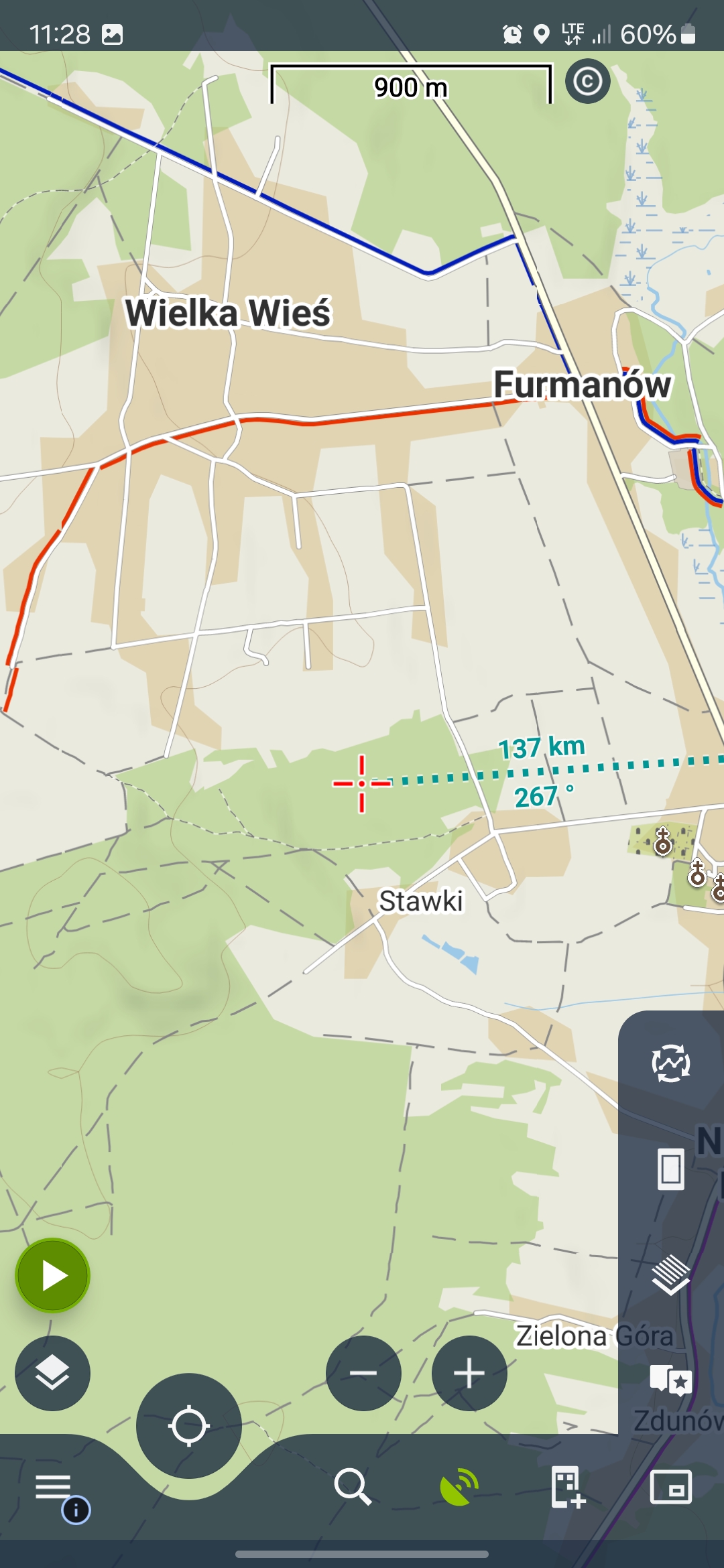
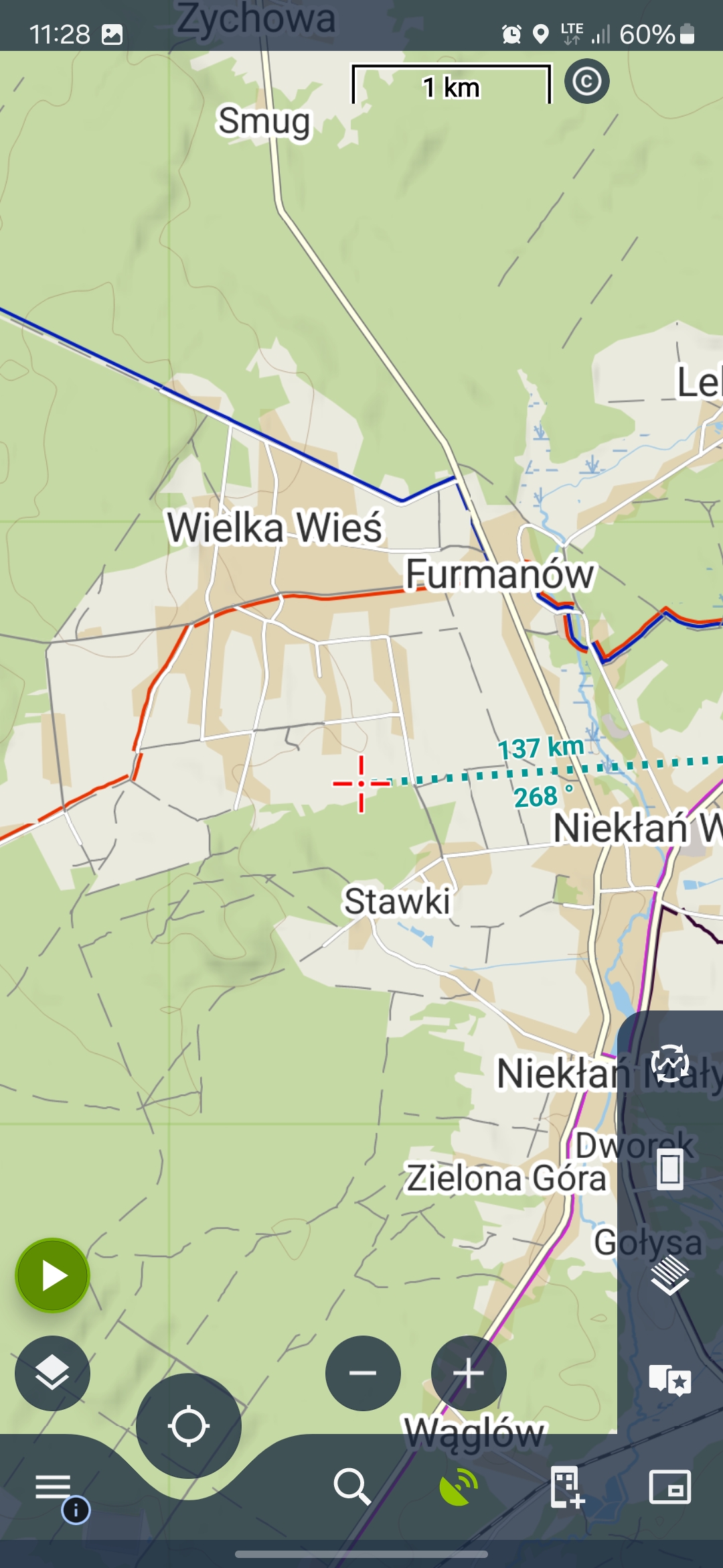
Why does Locus show gravel roads as asphalt roads at higher zoom levels, as seen in the attached screenshots and how to show them regardles of zoom?
Thank you!
Thank you
 The same problem
Hello,
the thin grey line is basically a paved track, which is often made of concrete or asphalt, but can also be just gravel.
roads are simplified to a thin grey line to improve map read ability at lower zooms.
Regards
Petr
Hello,
the thin grey line is basically a paved track, which is often made of concrete or asphalt, but can also be just gravel.
roads are simplified to a thin grey line to improve map read ability at lower zooms.
Regards
Petr
Thank you for your answer, but I meant that on higher zoom levels there is no difference between roads while on lower zoom they looks different. Take a look on the road on screenshots I attached to previous post just above the red cross, please.
Regards
Jan
Thank you for your answer, but I meant that on higher zoom levels there is no difference between roads while on lower zoom they looks different. Take a look on the road on screenshots I attached to previous post just above the red cross, please.
Regards
Jan
You can try the OAM cards.
You can try the OAM cards.
Hey, I think this is currently Locus' biggest flaw. In the OSM maps there is a clear distinction between paved and unpaved roads. I myself often correct these labels on the OSM maps on the basis of my knowledge of local roads, so that this distinction can be used by others.
Recently, when riding my road bike, I had to change the map base to the OSM map online to make sure where the tarmac ended. The problem was that it was quite a remote area and there was almost no cellular network coverage.
It is completely incomprehensible to me why the maps in Locus do not have this distinction. Super strange and annoying!
For this reason the Locus web route planner is useless to me and the free brouter.de is much better. If this is not corrected, I will not subscribe to the Gold service for next year.
Daniel
Replies have been locked on this page!