
Lo Maps Suggestions for Baltic State Maps
In Progress
Could you show in baltic states LoMaps the difference between roads with asphalt and paved/gravel
- roads? On the maps of Wikiloc you can see this difference in high zoom levels.
Files:
Screenshot_2025...
 The same question
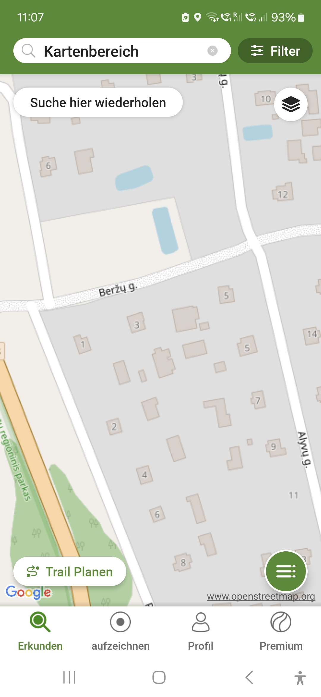
Dear Susanne,
Thank you for the message and the idea - unfortunately, not sure if we can draw such a pattern as shown in your screenshot. Moreover, material information isn't often defined in OSM. Anyway, would you please send me the exact location (city) of the area in your screenshot?
Thanks, Petr
Hello Petr, I had copied a part of the Wikiloc Map not to show a special place but only to give an example, that gravel is mentioned on these maps. For my own. I haven't travelled in Latvia, but a friend told me, that the gravel parts are well designed in the Wikiloc Maps. And it seems to be important, because the gravel with big stones used in Latvia seems to be difficult to manage with a bike with heavy backpack.
But I will go by bike in Latvia and Estonia in summer and then I can compare both msps in reality.
Susanne
Here is a nice example in Estonia. 58.718909, 24.366339
Going north the asfalt road becomes a gravel road. Most themes do not show the difference but for example Voluntary and Tapiola themes do show. So, the information is there in OSM. You can check in Google Maps streetvieuw for the road surface there.
Street view images are from 2011.
https://www.google.com/maps/@58.7200924,24.3652554,3a,75y,345.76h,77.16t/data=!3m7!1e1!3m5!1sp7u_eP8017cRtpuaG4leKQ!2e0!6shttps:%2F%2Fstreetviewpixels-pa.googleapis.com%2Fv1%2Fthumbnail%3Fcb_client%3Dmaps_sv.tactile%26w%3D900%26h%3D600%26pitch%3D12.841992382662667%26panoid%3Dp7u_eP8017cRtpuaG4leKQ%26yaw%3D345.7601149663171!7i16384!8i8192!5m2!1e4!1e1?entry=ttu&g_ep=EgoyMDI1MDQyMy4wIKXMDSoASAFQAw%3D%3D
Replies have been locked on this page!