
This object is in archive!
Track statistics graph in Locus Maps 4
Answered
I have been using 3 classic and really like this track statistics graph where you can see speed vs time or distance. I am unable to find it in the version 4. Hoping I'm just not able to find it and it's not actually missing feature in 4?
Files:
Screenshot_2025...
 The same question
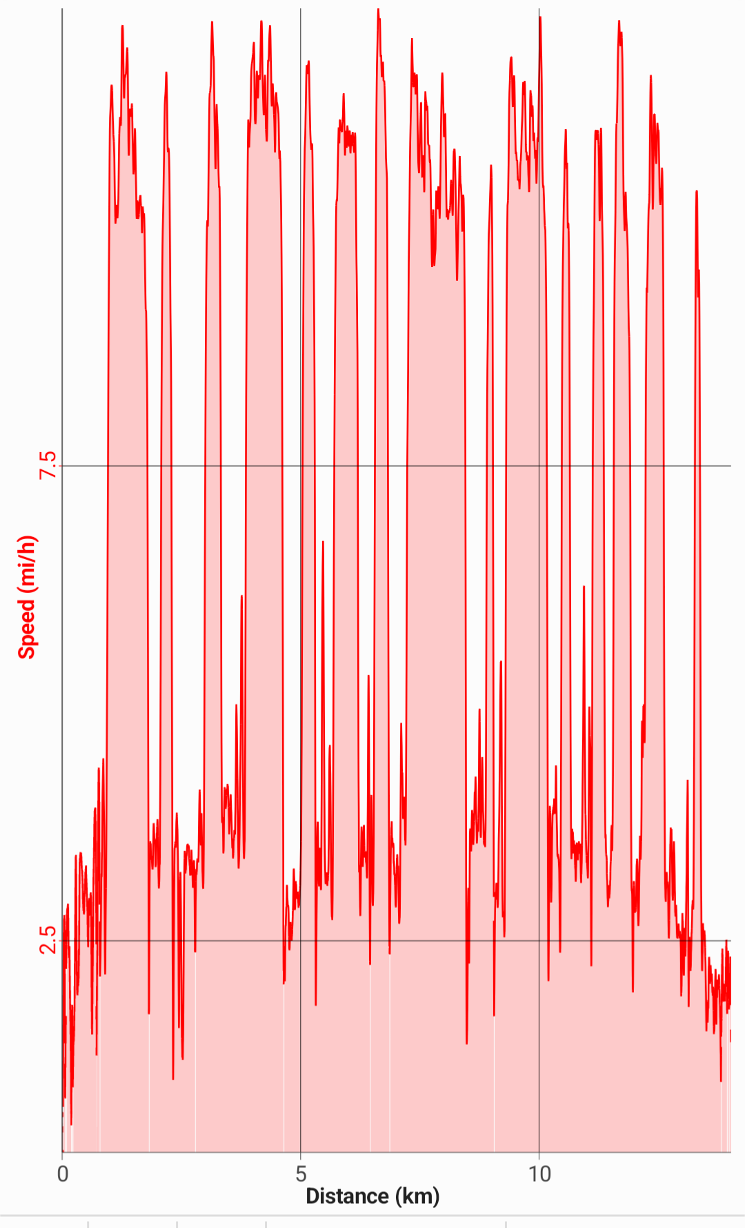
Click on the tool icon on the left under the elevation diagram and select the desired parameter (speed / tempo) in the menu that opens under "Y axis".
See screenshot:
Click on the tool icon on the left under the elevation diagram and select the desired parameter (speed / tempo) in the menu that opens under "Y axis".
See screenshot:
Copy. Thanks for the quick reply. I now got to it by clicking on elevation profile, I think it's very confusing UI.
Though the graph is very low resolution now. It's a bit disheartening that the detailed graph is now seemingly a subscription item? It seems maybe it should only be applied to elevation profile, not the simple speed vs distance or time graph.
Super bummed if not available without subscription though.
Hi Joshua,
detailed track charts are part of the Premium Silver plan, see Detailed comparison - Locus Map - mobile outdoor navigation app. Silver costs approx. $11/year.
Hi Joshua,
detailed track charts are part of the Premium Silver plan, see Detailed comparison - Locus Map - mobile outdoor navigation app. Silver costs approx. $11/year.
All I see listed for subscription is Elevation profile. Seems the other track charts fall under this too.
I get features that require backend from locus being a subscription (I think elevation required some data download in some cases) but charting high res speed vs time or distance is completely local. Feels a bit bad to pay for the original app then have it end support with then a new app putting local prior features behind subscription.
How does it feel when they have to work and don't get paid? The Locus team would like a wage for their work every month.
They also get their paid money for Locus Classic.
As a Classic user you get 1 year of Silver for free.
How does it feel when they have to work and don't get paid? The Locus team would like a wage for their work every month.
They also get their paid money for Locus Classic.
As a Classic user you get 1 year of Silver for free.
Replies have been locked on this page!