
UK Ordnance Survey 1 to 25k maps appear blurry
Answered
Hi there
As a matter of interest, why is it that OS 1:25k maps appear more blurry in Locus maps than they do on some other apps like Hiiker?
It isn't a huge problem, as the maps are still usable for navigation. But it would be nice if they could be a bit clearer.
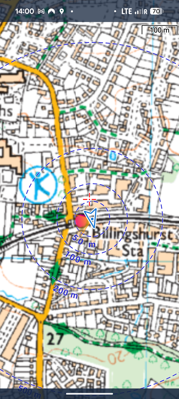
See Screenshots.
Thanks
Adam
 The same question
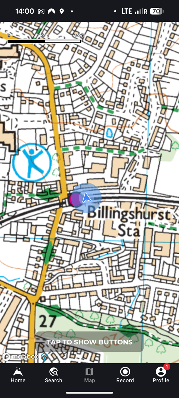
Hi,
Thank you for your message. I'm afraid that is complicated to easily improve it, and there are likely two main reasons:
- Raster-based OS maps in Locus Map: To keep file sizes manageable, the most detailed zoom levels are omitted. When zooming in, the app simply resamples the previous zoom level, which can result in a blurry image.
- Coordinate system transformation: The map is originally based on the OS British Grid, but Locus Map uses the global Web Mercator projection. This transformation causes a slight rotation, and because the map is raster-based, straight lines may appear pixelated or distorted.
Thank you for understanding
Petr
I believe that OS Maps offers two resolutions - 254 dpi and 660 dpi.
(e.g. https://docs.os.uk/os-downloads/contextual-or-derived-mapping/1-25-000-scale-colour-raster/1-25-000-scale-colour-raster-technical-specification)
I don't know what Hiiker is using , but , correct me if wrong, the LM OS maps look like they are 254 dpi. At least one other map app I know of (Anquet) offers the 660 dpi and they are a lot sharper if you zoom in a lot.
If the LM version are really 254 dpi is there any chance of exploring whether the 660 dpi could be offered and at what cost ?
Hi,
Yes, we've been using 660 DPI source data for at least the past two years. As mentioned earlier, the original image is rescaled and slightly rotated to align precisely with the zoom levels required by the Locus format.
Unfortunately, I'm unable to offer a higher resolution at this time. However, if the map doesn't meet your needs, I'm happy to offer a refund.
Thank you for your understanding.
Best regards,
Petr
Replies have been locked on this page!