
Difference between state map and LoMap online.
Answered
I have the Gold subscription. I noticed recently that the LoMaps Online has more detail (trails) than the same area using my downloaded and current state map. I would expect them to be the same. No?
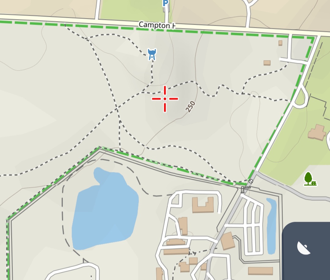
Area example in Illinois, US.
N 41° 54.731', W 088° 22.550'
Screenshots below. LoMap Online first, Illinois offline second.
 The same question
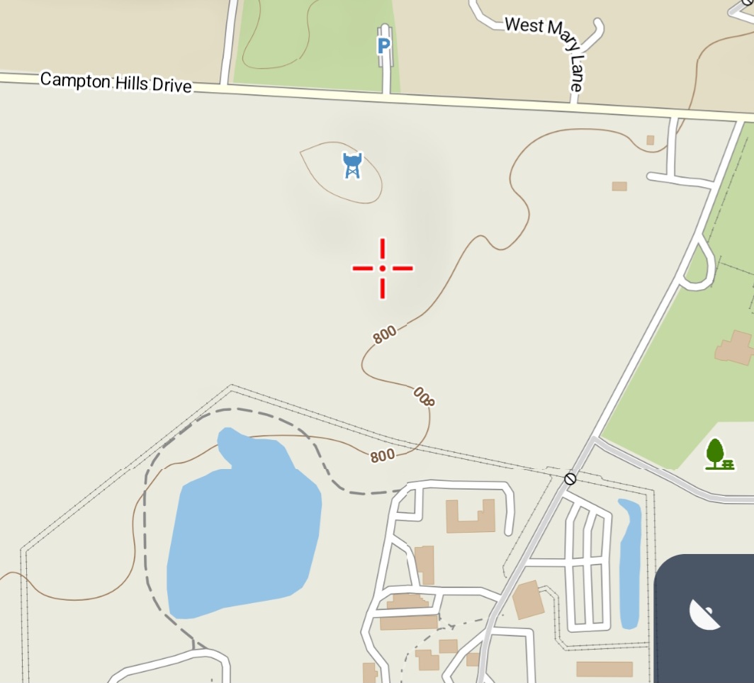
Actually, downloaded Illinois is first, LoMap Online (showing trails) is second.
Actually, downloaded Illinois is first, LoMap Online (showing trails) is second.
LoMaps online/offline are based on OpenStreetMap data. The trails were only recently added to OpenStreetMap. Therefore, they are already available in the online maps, but not yet in the offline maps.
They should also be available in the offline maps with the next update.
In OpenStreetMap (object query), all of these trails/paths show the information "Edited about a month ago by xy" and the comment:
"Adding Hickory Knolls preserve to area. Trails may not be entirely accurate, may have to do GPS Trace to be more accurate."
Replies have been locked on this page!