
Feature suggestion: Distance from start in elevation chart
Completed
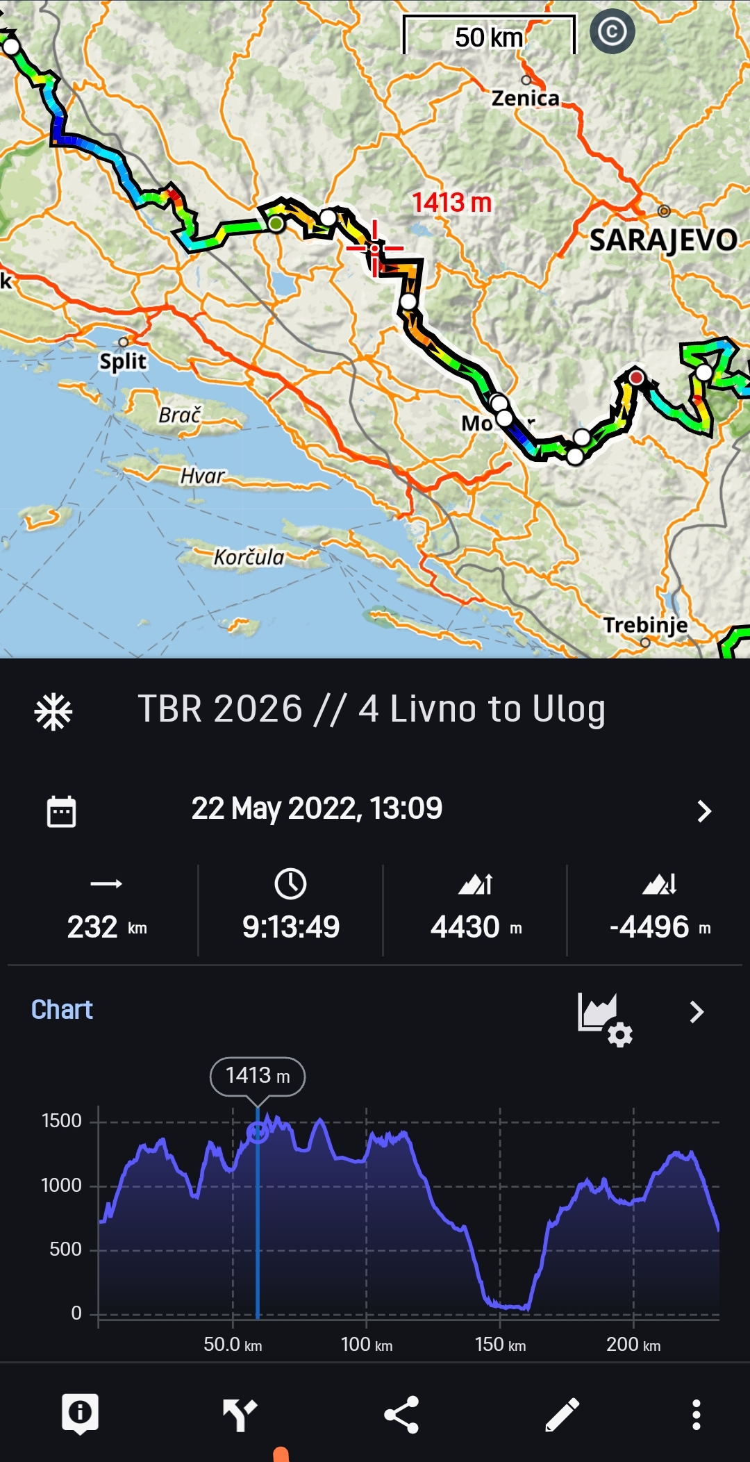
Could you please consider adding the precise distance to the elevation chart of a selected route. Currently it only shows the elevation. However, if you attend cycling races with resupply points provided by the organizer it is very hard to find the specific distance value: you need to use the information button which provides information about the distance from start and to the end, and move the cursor with the arrows. The X-axis showing the distance is too inaccurate, e.g. finding position 788 km of a 2000 km route.
Files:
Screenshot_2026...
 I like this idea
This has already been implemented and is included in the current beta version.
https://bit.ly/lmVersionsTest
This has already been implemented and is included in the current beta version.
https://bit.ly/lmVersionsTest
That a great feature.
Thanks
That a great feature.
Thanks
Great. When is the new version released?
Great. When is the new version released?
Replies have been locked on this page!