Cleanup of imported routes + cleanup of saved tracks
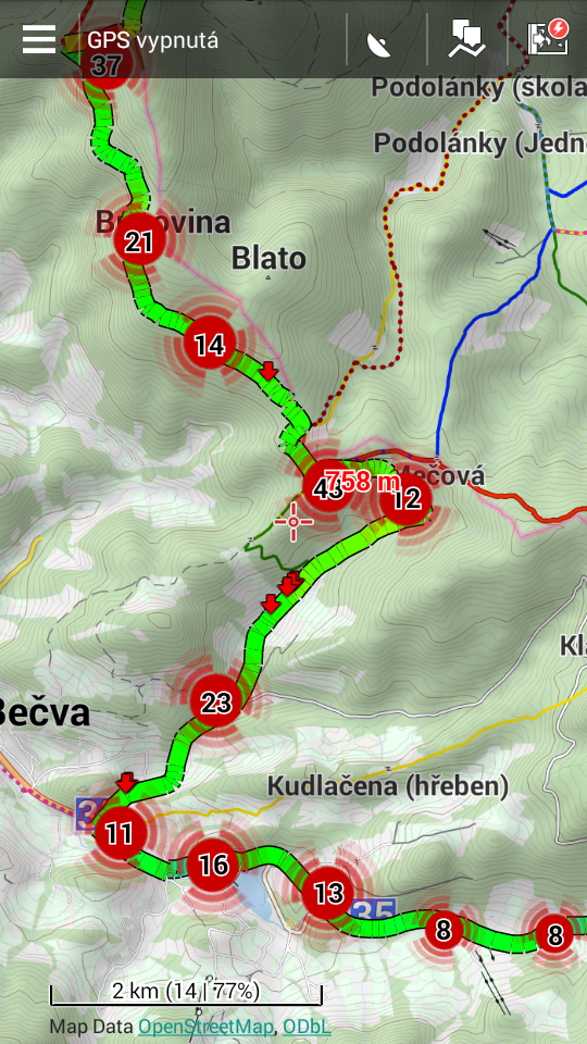
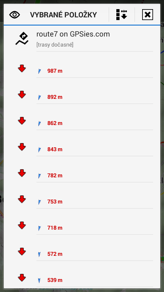
Hello, I noticed that when I import gpx file created/exported as route (as should be) consisting of gpx/rte/rtept elements, Locus displays the new track along with dummy red points. These firstly make track worse looking and for editing they're not moved along with track shape.


I suppose that on import these redundant points should be filtered out.
Also I'd like for Locus added saved nifty tracks cleaner under the track tool menu
[x] strip all dummy waypoints from track
[x] strip all navigation commands from track
[x] strip all speed information from track
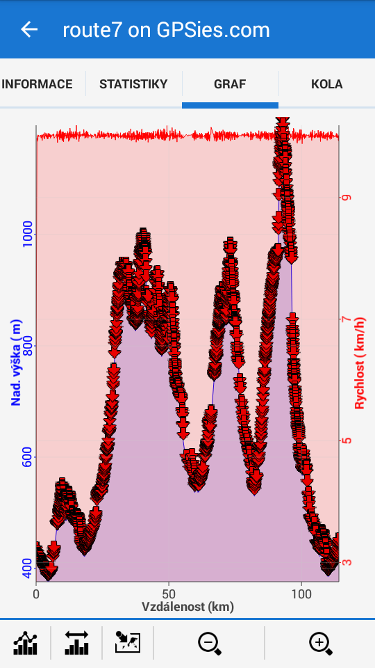
As example for removing speed tracks imported from GPSies have always time attribute present whatever format they're saved, which results in showing dummy speed 10km/h in attitude graph. On the contrary recorded tracks exported to GPSies don't contain speed info while GPSies support showing speed. Is this problem of server or doesn't Locus export the attribute?


 I like this idea
Hello Bucky Kid,
for your information:
1) red points are correct display of "route". If you do not want to have them in Locus, then I do not understand why you export track as RTE?
2) recorded speed is not exported to GPX file and also not exported into GPSies server (there is no need for this, as speed may be computed from time and distance).
Hello menion, I thought that track created in computer shall be always exported as route but if red points are correct then sorry.
I would anyway like the track cleaner tool to clean existing tracks. Is that possible to import route without the unwanted red points?
2) That's what mean, time ;) If GPSies don't support showing speed then I overlooked. But I'm getting to show speed in Locus always whatever format I use for Import. I think that time should be optionally removable on import.
I don't know about correct, but I always expect an export and consecutive re-import should recreate the original situation.
Now a track with no timestamps is by definition a route - so exporting and reimporting it should only put arrows where they were in the first place. The current behaviour might be some kind of feature, but it seems wrong to me as default without alternatives.
Of course, your opinion may differ. Technically, I assume it would be easy to add a checkbox and not generate the arrows when checked.
As written here http://help.locusmap.eu/topic/importing-routes-without-arrows, I think even if there's reason for this behaviour, it might seriously put off newbies. After all, it's kinda intuitive to do "Create a route - export as route - delete when not needed - reimport when needed". And expect it to look like before.
If there is no agreement on putting a checkbox in the import, perhaps at least a "?" should be added to the "Track as route" option, explaining that importing a route is not best for backups.
Menion, do you think that would be an option?
[EDIT: I actually wrote "track" instead of "route", defeating the whole point here ;)]
Locus track export offers: Export as trackfile (trk) or as "Direct Route" file (rte). If you want a simple track choose trk tag. Anyway is there some historic reason that Locus offers such an export as rte tagged ?
A track by design even without timestamps is a track not a route. In a trackrecord the timestamps (history) are automatically added. Some pc software (gps trackeditor) offer to add timestamps, corresponding to a certain speed, during a track import if timestamps are missing.
A "normal" route only contains a few (=reference) routepoints, just to be able to reconstruct a trackpath IF using a compatible routable map in the outdoor gps. Preferably the same routable map in the outdoor gps as in the design program, otherwise an excact same pathrun is not garantueed.
In Locus (non routable map).
Normal routes only containing minimum, so only few reference (red arrow) routepoints, connected by (long) straight lines.
In a Direct Routefile many trackpoints(trkpt) are replaced by routepoints(rtept). These points connect via (short) lines representing a replica of the track, but in Locus routepoints are shown as (a lot) 'red arrows".
So In Locus there is no need to export and reimport as a Direct Routefile (=rte tagged track) with a lot of routepoints.
"Direct Route" files sometimes are used in certain Car Gps units that do not accept tracks(points) but do accept routes(points) as a workaround to be able to at least show a trackpath.
I had a few tests I want to share. Showing some results. See used files in attachment.
Based on OSM data I produced 1_Simple Route, 2_Simple Track, 3_Direct Route, 4_Timestamped Track.
Open in Locus and notice the 'Red Arrows" on all routepoints.
Then I *(re)installed OSMAND and routable OSMmap Belgium.
1_Simple Route: Displayed without 'red arrows' on routepoints.
2_Simple Track: OK
3_Direct Route: A Locus track export (rte). Displays nicely without any 'red arrow' on routepoints.
@Menion. About simple Route (rte).
+/- Similar function : Routepoints (rtept) in OSM routable map <-> Must pass ViaPoints in Locus. (Graphopper offline Navigation experimental service)
* I absolutely do prefer Locus even with actual experimental offline Graphopper service, a far more stable Navigation result.
Replies have been locked on this page!