
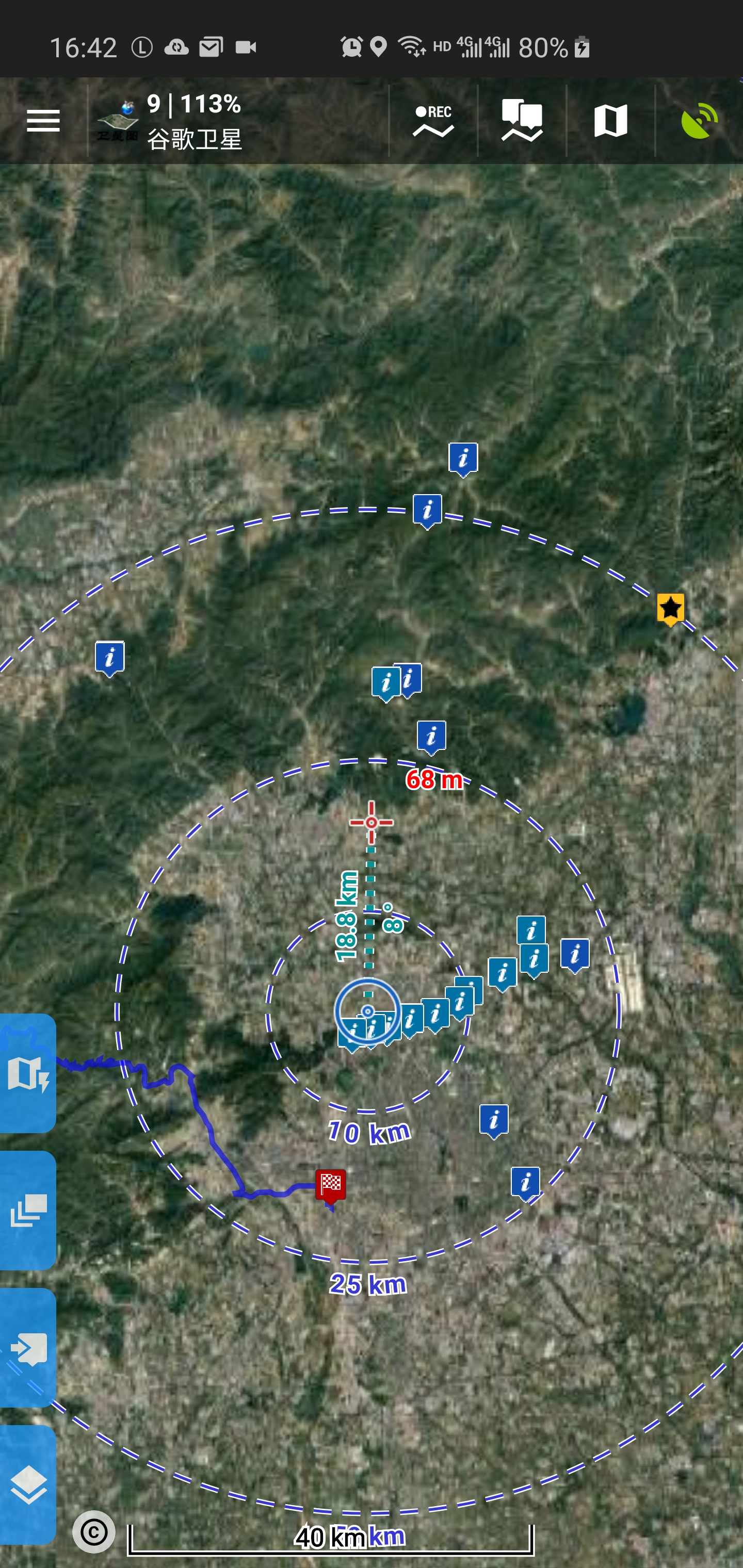
when i upgrade to 3.38, the online map become very very blur in the low level zooms until the 17 level .
the attachments show the blur .
my phone is samsung s10.
Since v3.38 my rasterimage maps are very blurry on my OnePlus 6. I think at the same zoom setting it is using a lower map-level then before.
I would like to have a higher map-level at a lower zoom level (more detail, when zoomed out).
 The same problem
Same problem on Huawei P20 Pro:
Same problem on Huawei P20 Pro:
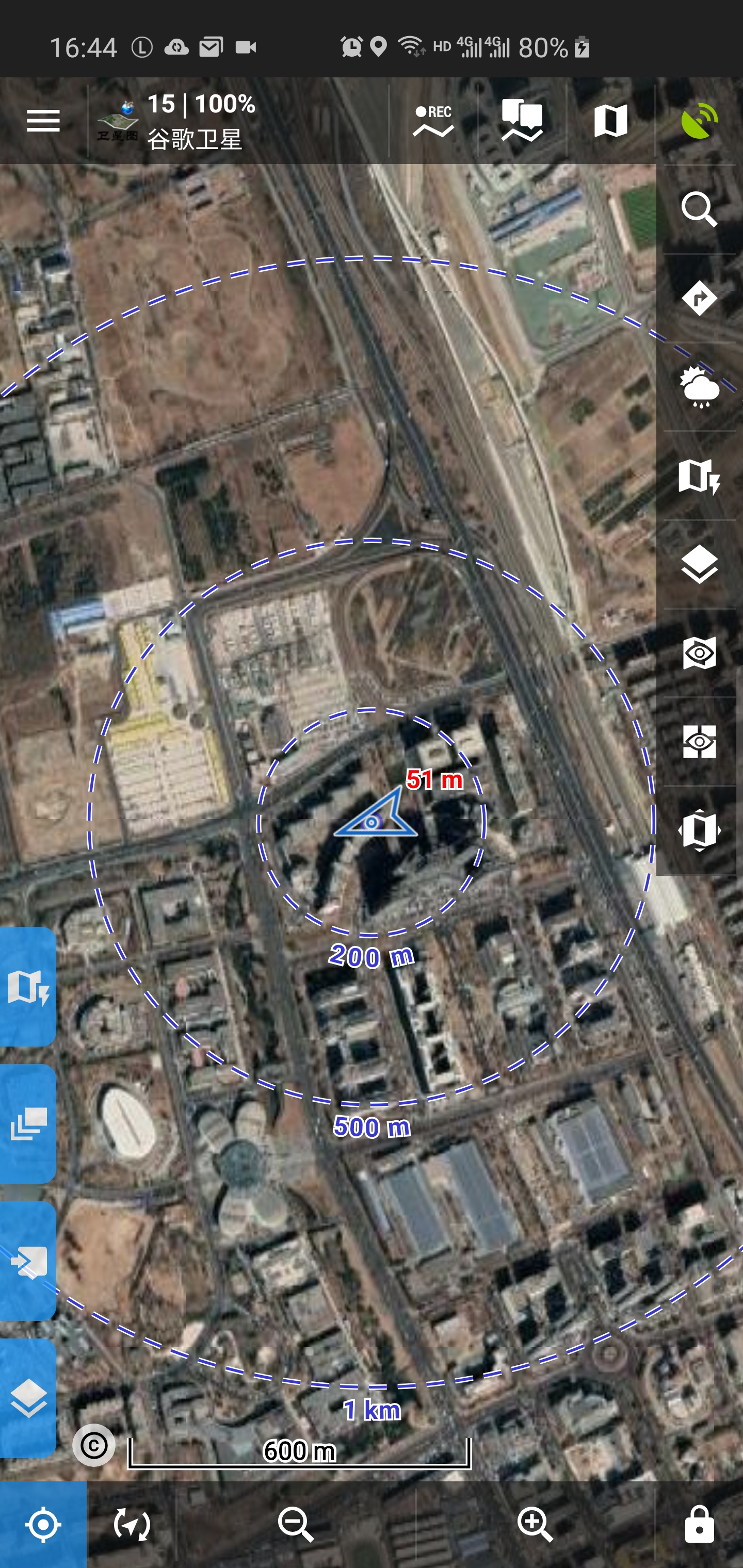
I tested different offline and and online maps, as can be seen in the attatched screenshots. Vector maps are very sharp. The setting "increase map resolution" is off.
I tested different offline and and online maps, as can be seen in the attatched screenshots. Vector maps are very sharp. The setting "increase map resolution" is off.
Guys, I have to ask:
And if you are aware of these facts, that only solution is increase scaling of raster maps on devices, so texts will be larger exchange for small blur effect in some cases. Sorry, there is no other solution.
In next Locus Map version (3.38.1, the start of next week), because there is more complains about the new rescaling then was before (even that raster maps were useless because they were unreadable), I've reduced rescaling factor a little bit ... you will see.
Menion
Same problem on Huawei P10 Pro since 3.38. v3.39 did NOT solve the issue.
Same problem on Huawei P10 Pro since 3.38. v3.39 did NOT solve the issue.
Replies have been locked on this page!