
Satellite Data using HERE
Hi there,
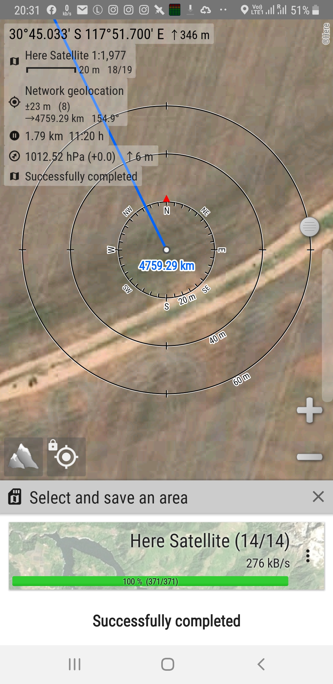
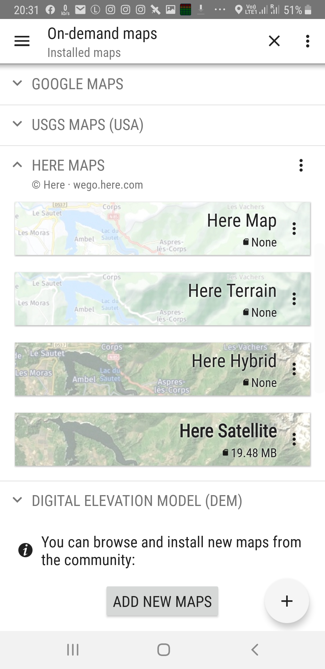
I have come to recently trying to switch from AlpineQuest to Locus. Locus of course seems far, far superior in terms of operation, but for content, it appears I cannot find any way to download satellite tiles. AlpineQuest has a really great facility for layering maps, and also adding new maps for display from many sources. One of the free sources is from HERE maps, which gives the following four map types: Roads, Terrain, Hybrid, Satellite. It seems that I can zoom all the way in to better than 1:5000K. In fact, still looks very clear at 1:1K actually,..
I hope you don't mind, but I have added some pictures here.
Because I have not found a good Satellite map source within Locus, I am finding it difficult to invest more time in exploring Locus, as good as it is.
Is it possible to add this source to our list of Locus Online maps that can have an area downloaded along a track for instance?
Many thanks, Cass.
 I like this idea
Hi,
thank you for an idea. Honestly we'd like to support any global satellite maps but the price for such service was not acceptable for us. However what country or area you're interested in,please?
BR Petr
Hi,
thank you for an idea. Honestly we'd like to support any global satellite maps but the price for such service was not acceptable for us. However what country or area you're interested in,please?
BR Petr
Hi Petr,
Yes, I have seen a few threads covering this topic, and the explanations for why it is difficult. The country I would use it most is Australia, where, when heading anywhere out of the cities, especially doing multi-day/week desert runs, where there is a total lack of cell-phone coverage, offline satellite terrain maps would be so useful. Right now, I can do it in the other software I mentioned, but as I feel that Locus is overall a more capable bit of software, it would be good to have some satellite source in it too. Perhaps this could be a paid service you could provide at some point? I am thinking I could use MapTiler and pay for their service myself if I really need to go big on this, but thought I'd ask you anyway...
Replies have been locked on this page!