
This object is in archive!
wms IGN france
Not a Problem
Hello, I have my own IGN subscription, but when I create new wms map with IGN url, I can't see and select any layers.
Url : http://wxs.ign.fr/**myKey**/geoportail/r/wms?SERVICE=WMS&VERSION=1.3.0&REQUEST=GetCapabilities
What's wrong ?
Thanks
 The same problem
Dear Germain,
would you please try this service for example on desktop? Is it possible for you to send as the GetCapabilities XML file?
Thank you
Petr
Dear Germain,
would you please try this service for example on desktop? Is it possible for you to send as the GetCapabilities XML file?
Thank you
Petr
Hi,
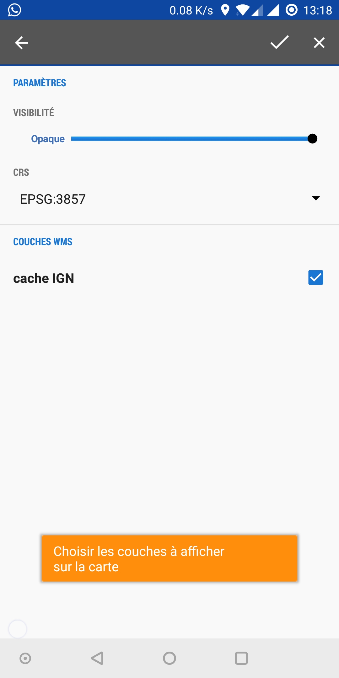
Just found this recent thread by having the same exact problem as shown in the screenshots. The solution for me was to add more "ressources" on my ign account, the default ones are not sufficient for wms service.
The ign website is a bit tricky, may not work on all navigators, sometimes all options are not shown in the "Mes commandes" page, just go back and try again
- In "Mon espace", go to "Récupérer mes clefs d'accès en ligne".
- Choose "Modifier mon contrat" at the bottom of the page
- Choose "Ajouter/Supprimer des ressources"
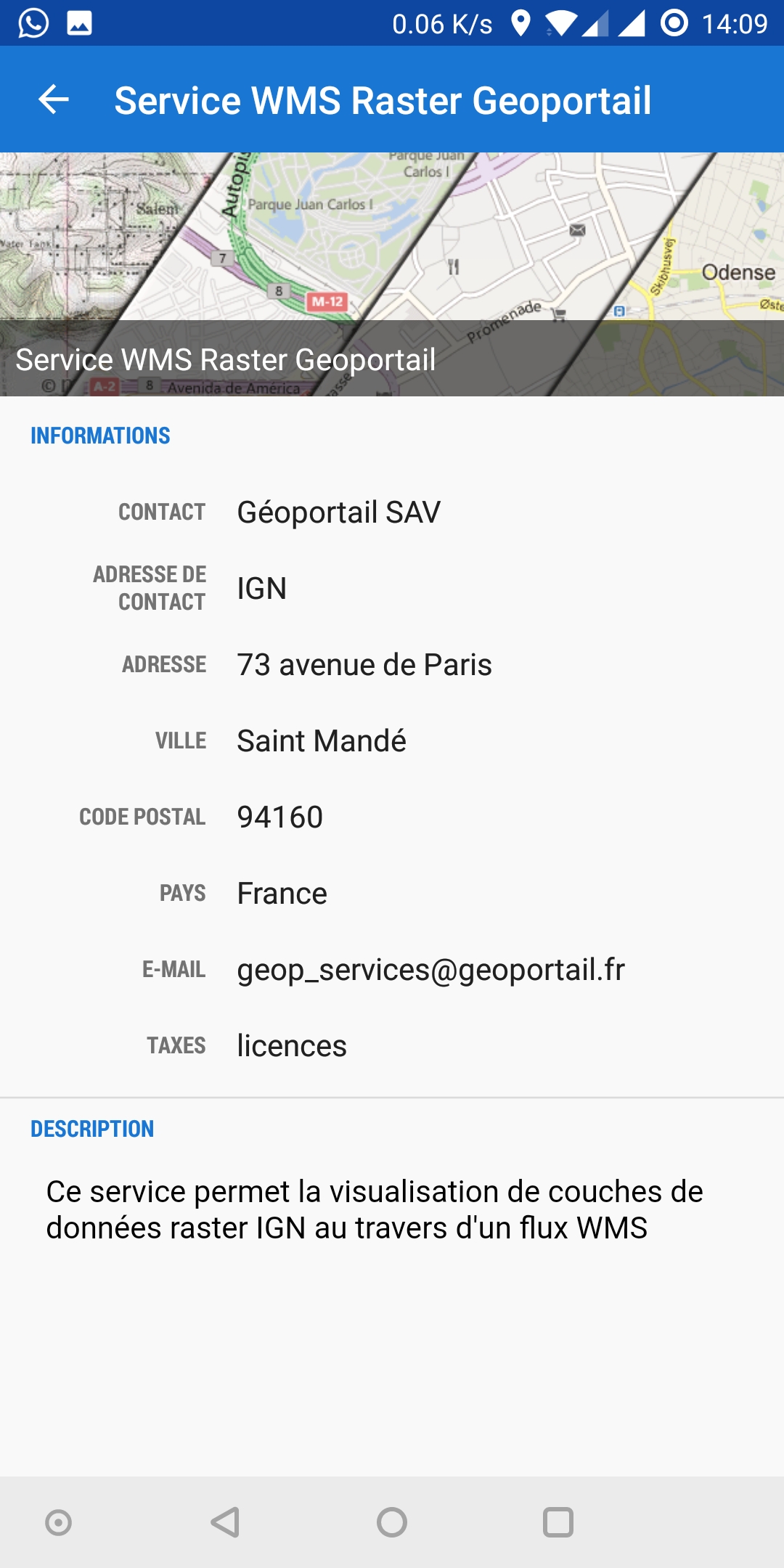
- Add "Ressources WMS-Raster du Geoportail", or whatever else you need to access with WMS (vectorial maps are just below, but if you want the aerial photo layers they are of course in raster).
- Validate your changes etc...
I also set up the access to work with login/password so that i can set them up in locus.
I hope this helps.
Hi,
Just found this recent thread by having the same exact problem as shown in the screenshots. The solution for me was to add more "ressources" on my ign account, the default ones are not sufficient for wms service.
The ign website is a bit tricky, may not work on all navigators, sometimes all options are not shown in the "Mes commandes" page, just go back and try again
- In "Mon espace", go to "Récupérer mes clefs d'accès en ligne".
- Choose "Modifier mon contrat" at the bottom of the page
- Choose "Ajouter/Supprimer des ressources"
- Add "Ressources WMS-Raster du Geoportail", or whatever else you need to access with WMS (vectorial maps are just below, but if you want the aerial photo layers they are of course in raster).
- Validate your changes etc...
I also set up the access to work with login/password so that i can set them up in locus.
I hope this helps.
Replies have been locked on this page!