
Auto loading of offline maps broken
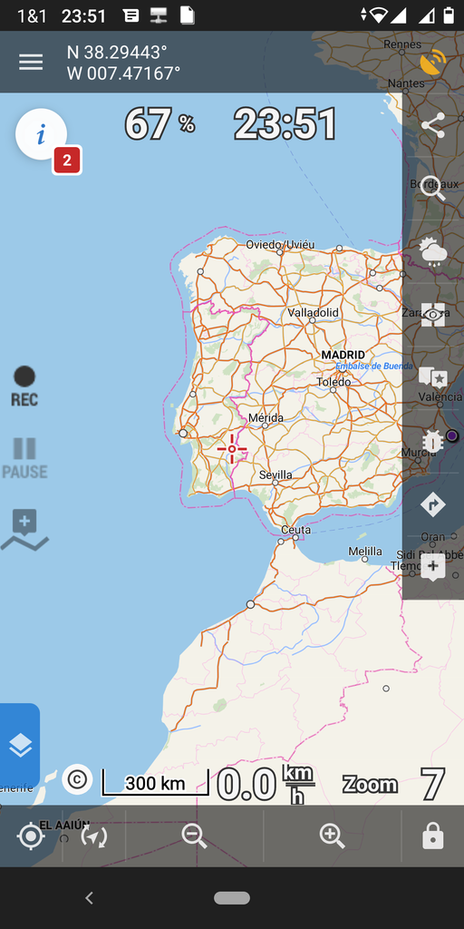
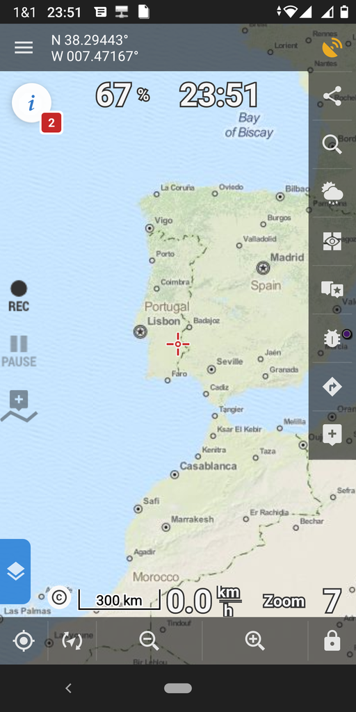
When zooming out to move to a certain region, I often get mostly white map displayed. Manual switching maps works, but is cumbersome - a reliably working auto-load maps would be nicer. It works in general, e.g. when not zooming out much but only panning from Germany to France or Switzerland.
I am aware that automatic change between vector maps v3 and v4 does not work (https://help.locusmap.eu/topic/never-had-such-a-problem-locus-as-v-3-38) but I have no idea how I can determine which map has which version (see https://help.locusmap.eu/topic/24653-how-to-determine-vector-maps-version). Hence, I assume that maps having the same icon (LoMap) and being of little age difference (e.g. 4 months) and coming from same provider (e.g. Locus store) will use the same version.
As I've I've configured "Automatic map loading"="Auto-load maps of any type" and documentation says it "swiches on map of any tiype covering the desired area", I do expect that one of my raster maps is loaded that does cover the area instead of showing void.
As I've I've configured "Automatic map loading"="true" and my first/manually selected map and world map can be assumed (see 2nd paragraph) to be of same type/version and both are stored in the very same directory, I do expect auto-loading of the world vector map works.
 The same problem
Hi,
map auto-loading can't switch vector to raster and vice versa. So automatic loading can:
It's not possible to combine vector and raster-based maps for autoloading.
Would you please check that any map of the same type covers the area where you get the white screen?
Thanks, Petr
Hi,
map auto-loading can't switch vector to raster and vice versa. So automatic loading can:
It's not possible to combine vector and raster-based maps for autoloading.
Would you please check that any map of the same type covers the area where you get the white screen?
Thanks, Petr
Hi Petr, thank you for clarification :-) Your post's content makes me a little sad in context of world map - there is no OpenAndroMaps vector world map (only raster) but most of my maps are OAM vector because they show much more details than LoMaps for my preffered activities hiking, climbing, via ferrata and cross country skiing. Hence, I have to live with "white areas" between countries or maual map switching :-(
@your whole post: As auto-loading is not intended to switch between vector and raster maps, IMHO the option name "Auto-load maps of any type" shall be refined to "Auto-load maps of any raster map type" and/or documentation https://docs.locusmap.eu/doku.php?id=manual:user_guide:maps_settings from
to
so users' expectation is matching actual software capabilities instead they assume it's one still unresolved issue of the auto-loading bug series that came up IIRC 4-8 years ago.
@"Would you please check...": As you wrote in https://help.locusmap.eu/topic/24653-how-to-determine-vector-maps-version#comment-97912 that all maps with LoMaps-icon are of same vector map type, the currently selected map (Switzerland) is the same as the world map which I do expect to auto load. But it does not, also not after several minutes (manual switch to world map renders within 2-5 seconds depending on zoom level). I also did check again, directory mapsVector on interal storage is empty, directory mapsVector on SD card contains both switzerland<timestamp>.osm.map and world.osm.map -- and I assume these two are the files reflecting as "Switzerland<timestamp>" and "World" in Maps manager (the map details window doesn't show the file path).
IMHO it's surprising Locus only fails with it's own LoMaps - auto-loading of OpenAndroMaps v4 XOR v3 works fine. As written, I mostly use OAM. Thus, for me, this topic can be closed but if you have an vote collecting topic asking for auto-switching between different vector map types (mixing not required for my purpose of world map), I'm happy about a link so I can vote.
Cheers, Georg
Hi,
I'll ask colleagues to consider a better description for auto-loading. But on the other side, these texts are in the Raster or Vector section that should define the "scope"
I'm sorry but I'm not sure if I can understand you. Did you set "World" map as Global Map? (Menu > Settings > Maps > Advanced features > Pre-load global map > select World (LoMap)
No matter if you use OAM map, raster map or LoMaps map. Locus automatically displays the global map if you zoom out to ZL <=10 (when LoMap World map is selected as Pre-load global map).
Do you use World map as Pre-load global map, please?
Thanks, Petr
Hi,
I apologize for this old and still unfinished topic. The texts for maps auto-loading should be improved in the next version.
Regarding the autoloading - is there still any problem we can help with?
Thank you
Petr
Hi,
I apologize for this old and still unfinished topic. The texts for maps auto-loading should be improved in the next version.
Regarding the autoloading - is there still any problem we can help with?
Thank you
Petr
Hi Petr, 2022-01-05 you wrote the text should be changed in next version. At time of your post, v3.56 was current, now v3.59.0 is public and the configuration looks the same:
Also, the according section in the manual https://docs.locusmap.eu/doku.php?id=manual:user_guide:maps_settings was not altered.
Was the change postponed or do we have a misunderstanding?
Best regards, Georg
Ahh, I'm sorry I think we forgot on it. I asked my colleagues to improve this description.
Ahh, I'm sorry I think we forgot on it. I asked my colleagues to improve this description.
Replies have been locked on this page!