
This object is in archive!
Questions about the application
Answered
Question 1 (Attach - Locus 1.jpg)
What do these numbers mean? They don't change much on the plain or up to 1700 meters.
What's the point of them?
Question 2 (Attach - Locus 2.jpg)
GPS data. Is it possible to change the speed value to the distance traveled?
 The same question
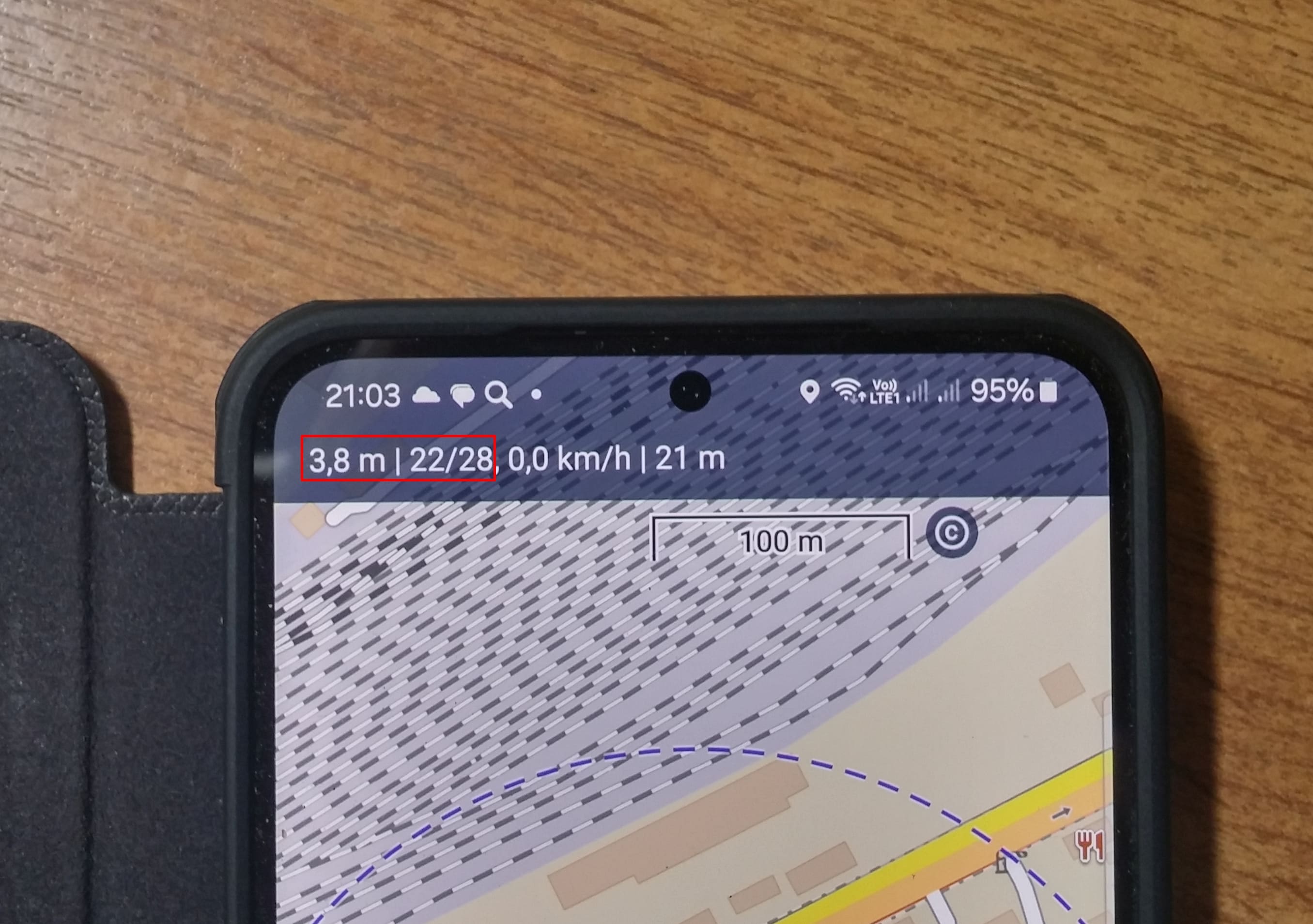
First Question: This is the information box. In the dafault view, the first value is GPS accuracy, next value is number of targeted/fixed satellites.
More about the information box, see https://docs.locusmap.app/doku.php?id=manual:user_guide:maps_mainscr_ctrl&s[]=accuracy
Second question:
You can select several informations by clicking on that area (but not single values). For distance of a track, you have to record a track.
Tip: you can use dashboards to build your own display of informations in Locus.
More information about dashboards: https://docs.locusmap.app/doku.php?id=manual:user_guide:tools:dashboards
Replies have been locked on this page!