
Make Street View available when planning a route
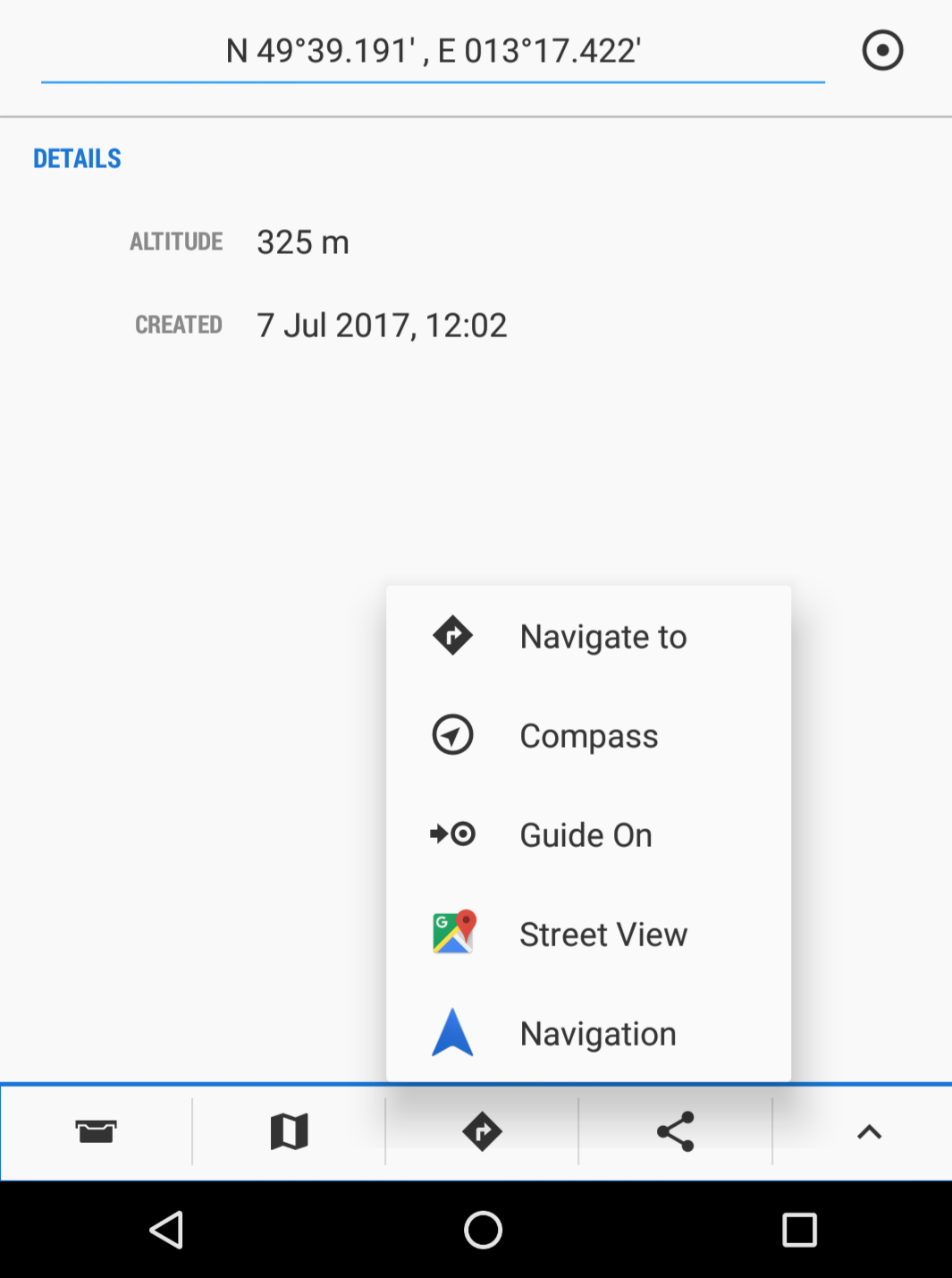
If I go to point on map (its detail page) normally, I see (first screenshot). Thats good, I can see Street View of that place, connect 2D map planning with 3D view in situ.
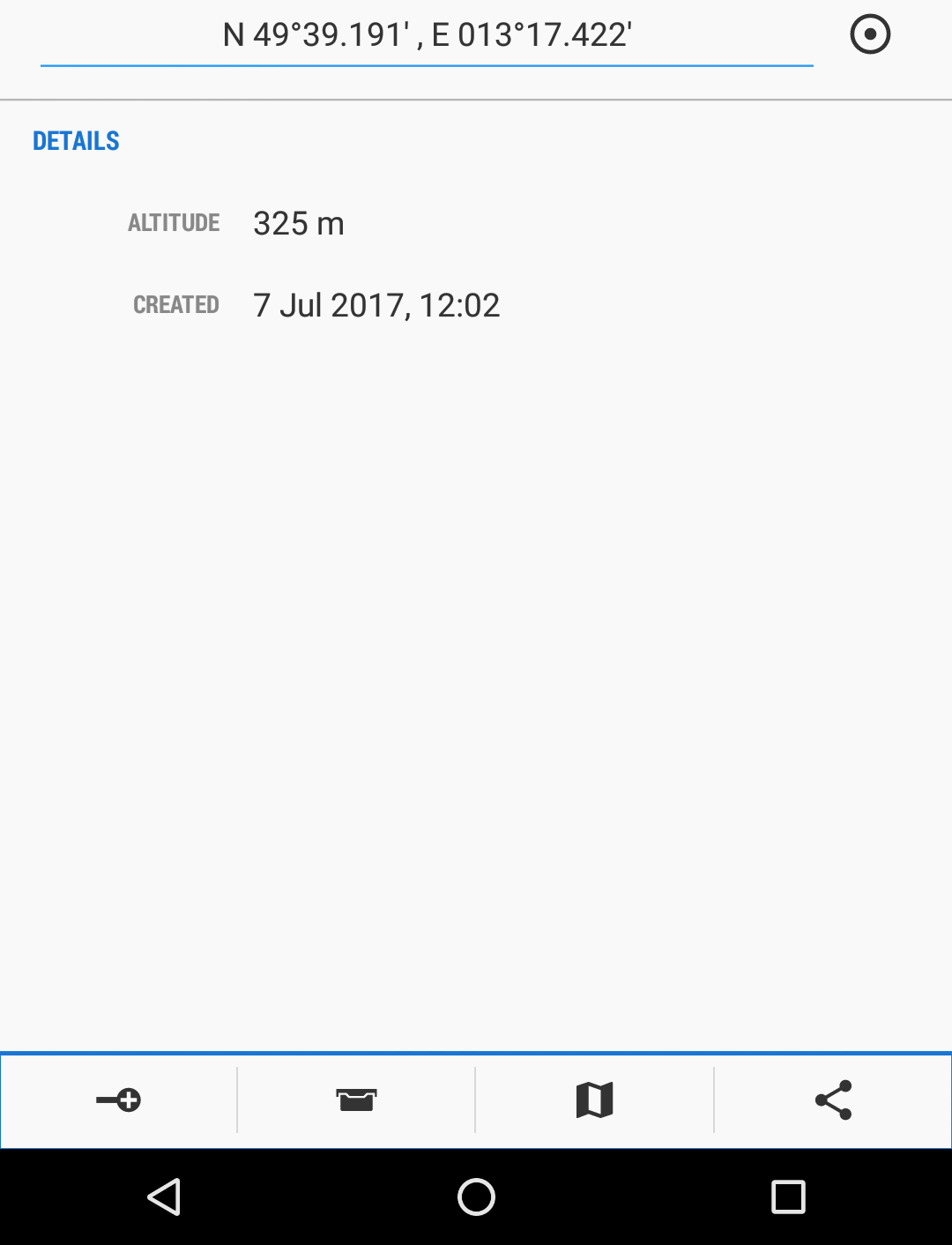
But when I am planning a route (e.g. trip for the next day), this option is gone. Which is bad, because it goes like this:
1)I start to draw the route from my home,
2)then few km till the POI. But I don't know if I can park there, if there are some parking spots along the road available.
3)But I cannot do that, because the option to lead the route to POI, clicking on POI and Street View of it, is just not there.
4)If the option was there, I would judge the spot,if I can park there, or scroll a bit in each direction, to find park spot as close as possible.
5)Rinse and repeat for another POI.
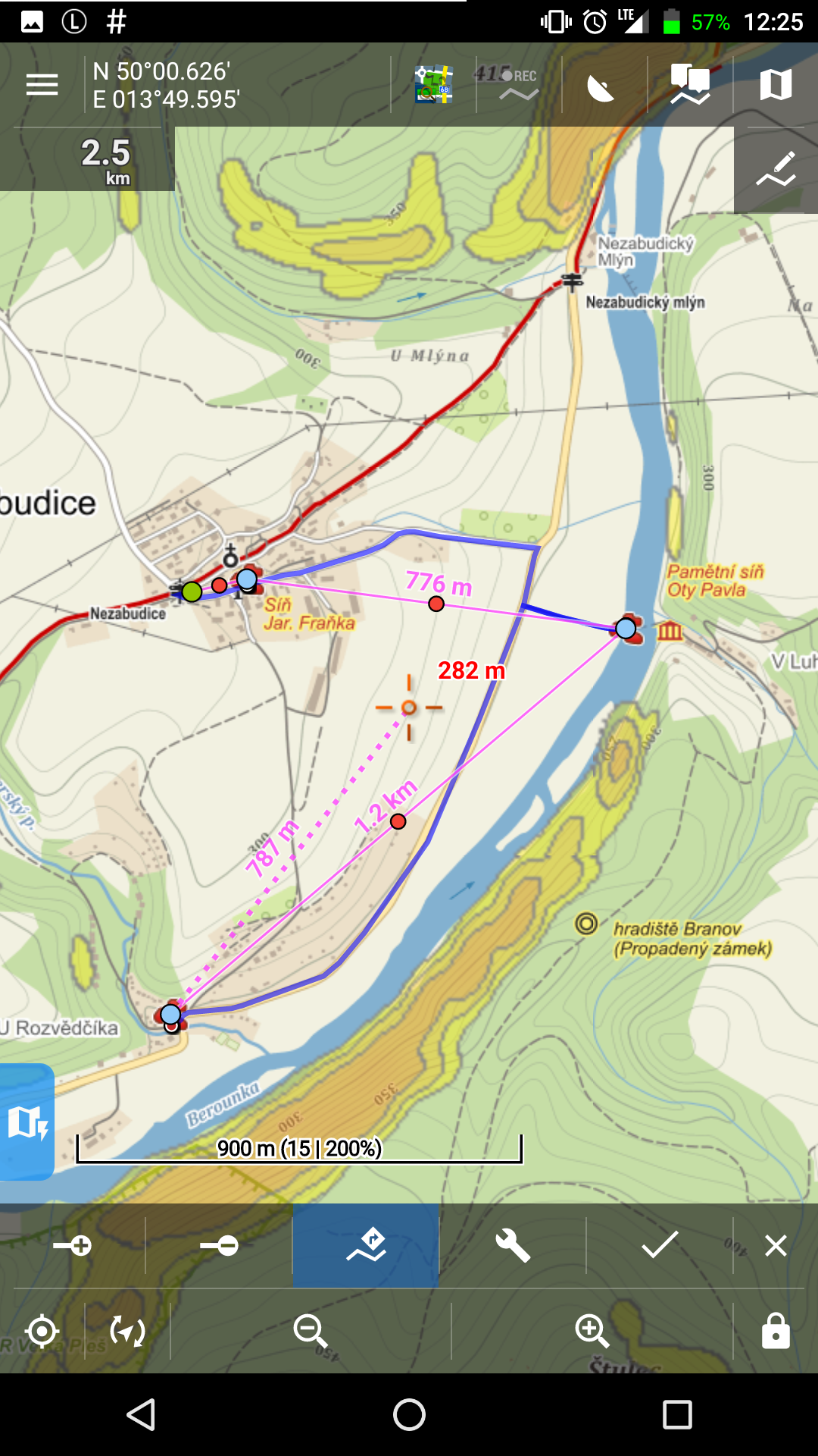
Example in third screenshot - Start-POI1-POI2-POI3. But I cannot look at Street View till I finish the route. Which I can't, because I don't know how it looks on street level. Doing rough route draw, saving it, looking at SV, editing route, including better park spots is clumsy and often I only know where route will lead based on park spots.
Satellite view sometimes help,but often not (low res photos, tree covers it ...).
 I like this idea
Anyone?
Anyone?
Good day Marty,
whole route planner is currently it rewrite process. remind me this few months later when whole system will be up and tested. I consider this idea as useful and I believe there will be option how to allow to display detail of point and a street view option ( by long click on the map ). Happy voting.
Super, Street view works now. But one very important thing is now missing - scale of map. It was present on old route planner screen, now is gone.
Super, Street view works now. But one very important thing is now missing - scale of map. It was present on old route planner screen, now is gone.
That would be useful, true.
For now, can you return the scale?
That would be useful, true.
For now, can you return the scale?
Since July 2018 Google introduced new pricing for it's web services ( https://developers.google.com/maps/billing/understanding-cost-of-use#dynamic-street-view ). And unfortunately Street view costs us $14/1000 views, so it is totally out of possible range. So my idea to have street view directly in planner is not possible.
So solution is really display the detail of point and from bottom menu display the street view integrated in the system (in the Google Maps on device). Thanks for understanding.
Replies have been locked on this page!